
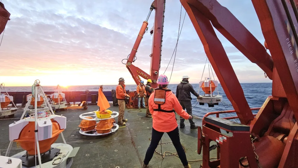
Seafloor geodesy is a cutting-edge field of Earth science that focuses on studying and monitoring the precise movements and deformations of the Earth’s crust beneath the oceans. Using advanced technologies such as acoustic signals, GNSS, and specialized seafloor instruments, researchers measure shifts in tectonic plates, underwater volcanic activity, and seafloor spreading. These processes, largely hidden beneath the ocean depths, play a critical role in understanding earthquake generation, tsunamis, and the dynamics of plate tectonics.
EarthScope is developing new archiving standards that comply with FAIR principles for discovery and dissemination of seafloor geodesy data sets as well as processing pipelines for the automated processing of seafloor geodesy through funding from the NSF and USGS.
Previously collected seafloor geodesy data as assembled data sets.
All searchable seafloor geodesy data.
Home
- Last updated: 18 March 2025