
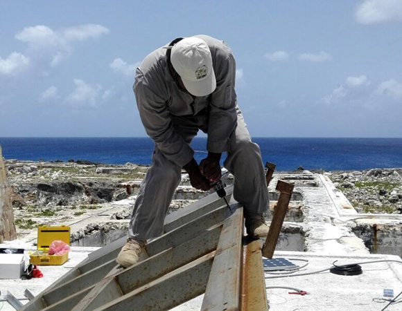
Anguilla airport maintenance supervisor Edwin Carty installing solar panels for COCONet cGPS station CN51 on Sombrero Island, Anguilla. (Photo/John Sandru, UNAVCO) 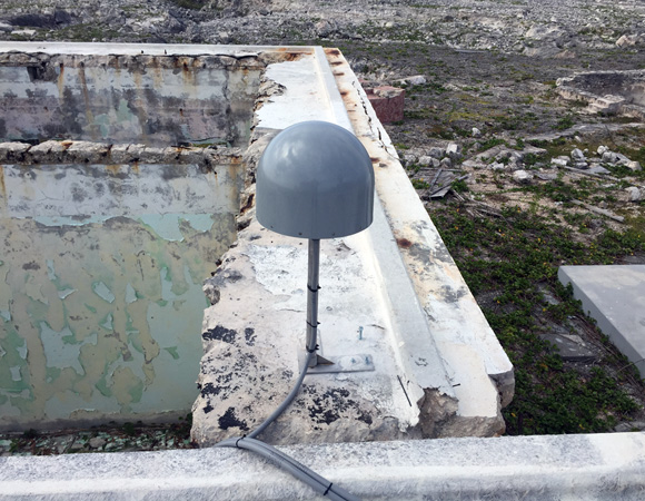
The GPS antenna and mount for COCONet station CN51. (Photo/John Sandru, UNAVCO) 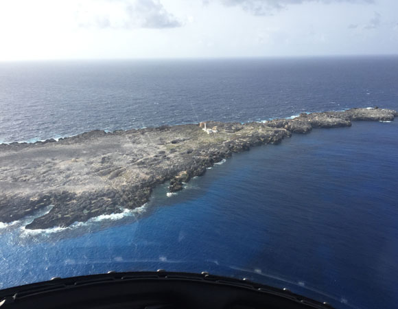
Sombrero Island, Anguilla, home of COCONet station CN51. (Photo/John Sandru, UNAVCO) 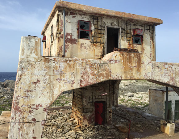
One of several old lighthouses on Sombrero Island, Anguilla. (Photo/John Sandru, UNAVCO) 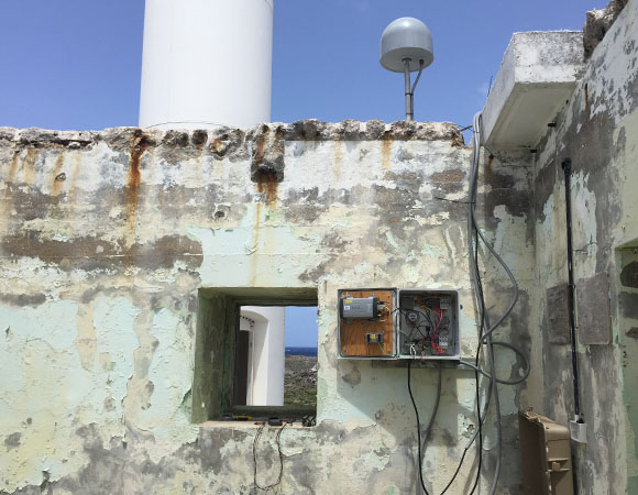
Overview of COCONet station CN51 on Sombrero Island, Anguilla. (Photo/John Sandru, UNAVCO) 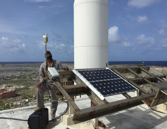
Anguilla airport maintenance supervisor Edwin Carty with the solar panels and metpack for CN51 on Sombrero Island. (Photo/John Sandru, UNAVCO) 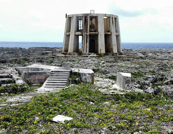
One of several old lighthouses on Sombrero Island, Anguilla. (Photo/John Sandru, UNAVCO) 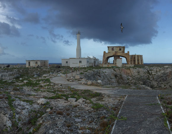
Sombrero Island, Anguilla, is accessed by helicopter – unless you\’re a bird. (Photo/John Sandru, UNAVCO) 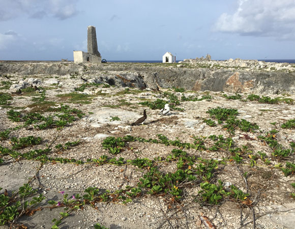
Brown boobies on Sombrero Island, Anguilla. (Photo/John Sandru, UNAVCO) 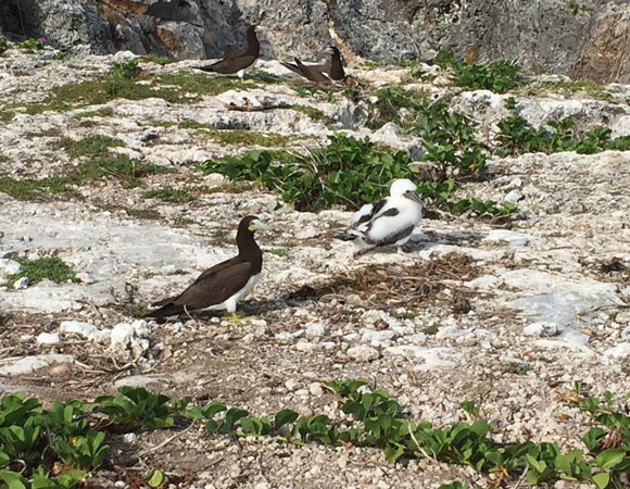
Brown boobies on Sombrero Island, Anguilla. (Photo/John Sandru, UNAVCO)
Project Overview
Determining how the Caribbean plate moves with respect to the neighboring North America and South America plates has been a major challenge. Geologic plate motion models using seafloor magnetic anomaly rates, transform fault azimuths, and slip vectors are challenging due to sparse data. The only rates come from the Cayman Spreading Center, and seismicity at the eastern boundary is low due to slow convergence. Moreover, the boundary geometry is still unclear, since the Caribbean plate’s north and south boundaries are complex deformation zones.
GPS data continues to provide key clues to the Caribbean region’s geologic faults. GPS stations are currently being installed as part of the Continuously Operating Caribbean GPS Observational Network (COCONet), strengthening the indispensable collection of data belonging to a region that faces many atmospheric and geologic natural hazards.
UNAVCO Connection
In collaboration with the government of Anguilla, UNAVCO installed COCONet cGPS station CN51 on Sombrero Island in May 2015. Sombrero Island is a small, uninhabited island northwest of Anguilla that once hosted several lighthouses and was mined for phosphate in the late 1800’s. CN51 increases coverage on the northern edge of the Caribbean plate and is the northeasternmost station in the network.
Significance
The COCONet project was funded by the National Science Foundation (NSF) with the aim of developing a large-scale geodetic and atmospheric infrastructure in the Caribbean that will form the backbone for a broad range of geoscience and atmospheric investigations and enable research on process-oriented science questions with direct relevance to geohazards. The Caribbean Plate is a unique opportunity to monitor movement, because most of the plate rests underwater. Prior to this endeavor there has been limited monitoring of the Caribbean Plate. Furthermore, each site is equipped with a weather station which records vital atmospheric data that is analyzed by our friends at the University Corporation for Atmospheric Research (UCAR) to monitor the movement of potentially deadly hurricanes.
Project Information
- Principal Investigators: COCONet
- UNAVCO Engineer(s): John Sandru
- Dates: May 13 – 16, 2015
- Locations: The Valley, Anguilla, and Sombrero Island, Anguilla
- Funding Source: NSF, COCONet
- Map of Sombrero Island, Anguilla
Related Links
Written by:
- John Sandru
- Posted: 29 June 2015
- Last updated: 25 June 2021
- Tags: GPS/GNSS, project highlights
-

