For current news content, please visit EarthScope.org.

Home

Filter

Showing 85 - 96 of 171 posts

6 Jan 2020

Geodetic Infrastructure in the Northern Costa Rica Subduction Zone

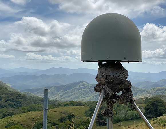
Project Overview From the NSF award abstractThe great earthquakes and tsunamis of 2004 (Sumatra) and 2011 (Japan) were wake-up calls that our forecasting skill for these catastrophic events remains poor. Measurement of the slow motions of the Earth’s surface near active faults could help to forecast the location and the size of future earthquakes. This … Continued

30 Dec 2019

Trinidad and Tobago Neotectonics and Seismic Hazard

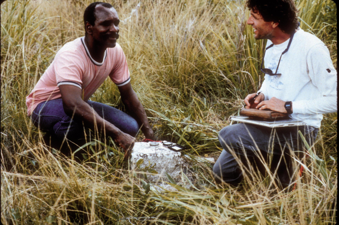
Trinidad and Tobago Neotectonics and Seismic Hazard from Geodesy Overview The rich and varied landscapes and geology of Trinidad and Tobago, a twin-island nation in the southeast Caribbean, reflect a complex, multi-phase tectonic history. Trinidad-Tobago makes up the eastern part of the southern Caribbean orogen, a range of coastal collisional mountains that rim northern South … Continued

15 Nov 2019

Reviving a Site Just out of Reach: P438

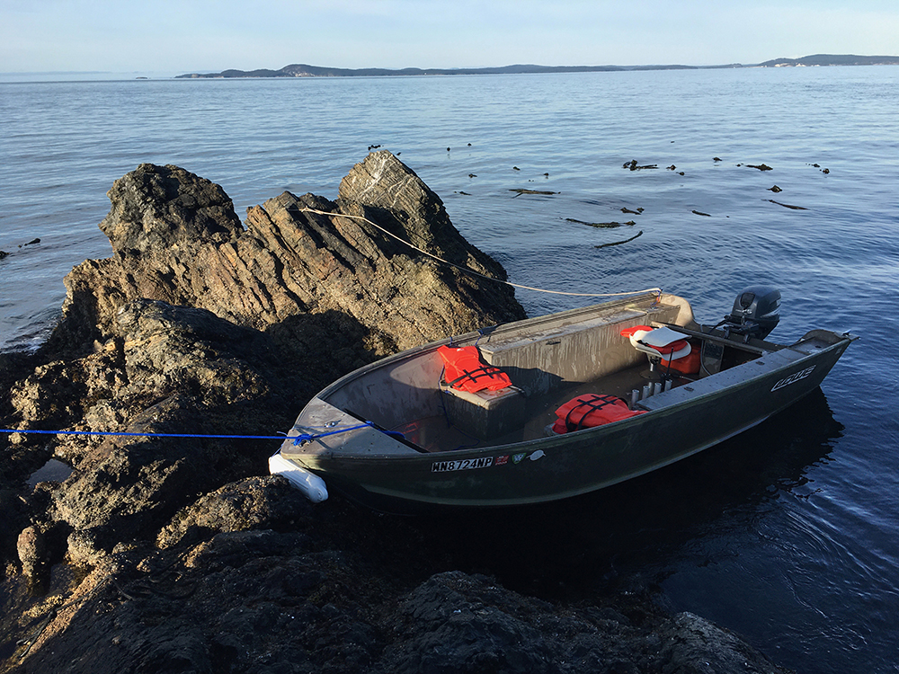
Overview GPS/GNSS station P438 is located on Northwest Island, a small uninhabited island adjacent to Fidalgo Island in the Puget Sound. The site is in a prime location to capture episodic tremor and slip data and monitor ongoing plate deformation in the Cascadia subduction zone. Yet site access is tricky: P438 is only accessible via … Continued

28 May 2019

The Myrtle Grove Subsidence Superstation

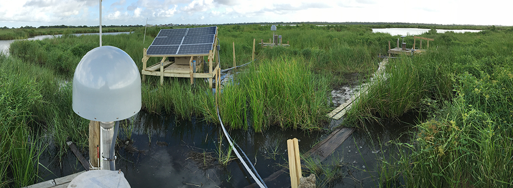
Delta Sites How do you install a GPS station in a marsh? How about three all in the same place? Installation of the Myrtle Grove subsidence superstation began in August 2016, but planning began well beforehand. The array of three co-located stations in Myrtle Grove, Louisiana, posed particular challenges, as the instruments were installed in … Continued

12 Apr 2019

Subduction Below Extreme Sedimentation: Part 2 – Myanmar

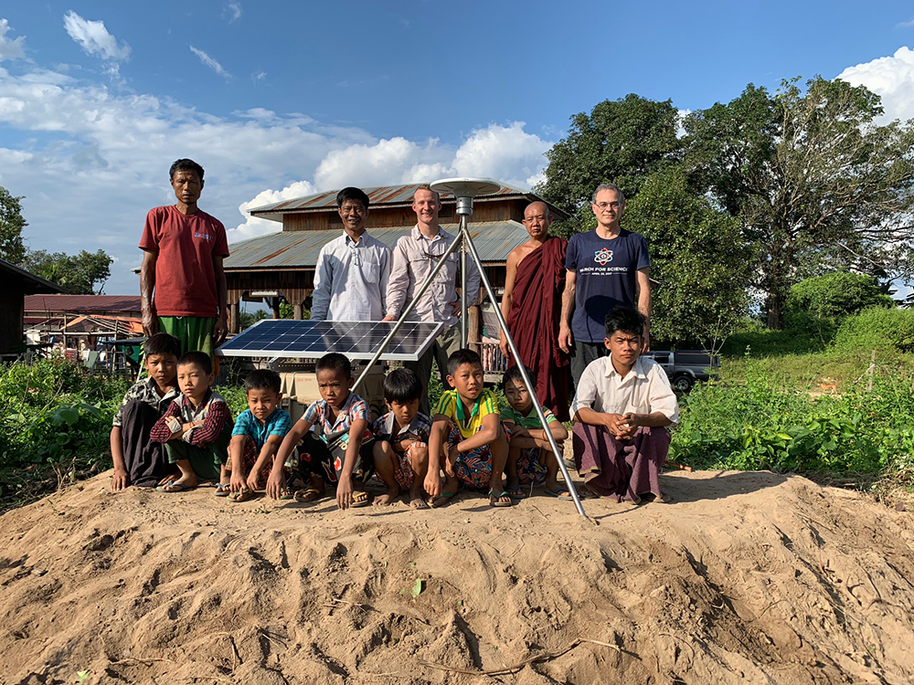
Summary of Work Continuing previous work in Bangladesh, Michael Steckler (LDEO) and Keith Williams (UNAVCO) arrived back in Myanmar in late October of 2018 to begin the installation of five additional cGPS sites with collaborators. The larger project entails installation of a transect of cGPS stations and seismometers spanning Bangladesh, India, and Myanmar (see previous Tripartite … Continued

15 Mar 2019

RAPID Response to the M 7.1 Earthquake Near Anchorage, Alaska

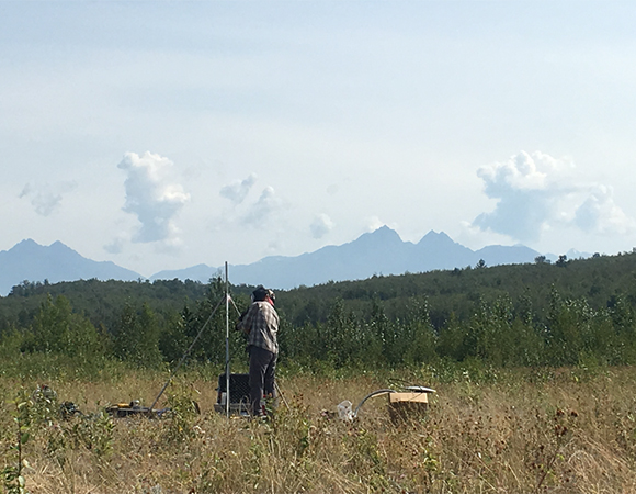
RAPID Response to the November 30, 2018 M 7.1 Earthquake 13 km N of Anchorage, Alaska Project Overview On November 30, 2018 a magnitude 7.1 earthquake struck just north of Anchorage, Alaska and caused over $75 million in damage to private and public facilities. The earthquake took place in the upper part of a subducting … Continued

11 Mar 2019

Updates on a Polar Network: ANET in the 2018-19 Season

Project Overview POLENET, a multiyear NSF-funded project, has entered its third award phase. The team for the 2018-19 Antarctic season, composed of six people, left McMurdo station for the remote field camp of WAIS Divide on December 13th, 2018. During the six-week deployment, the team installed five new GPS stations on the coast of Marie … Continued

8 Mar 2019

CHORDS Provides Infrastructure for Data Services

CHORDS Provides Next Generation Infrastructure for Real-time Geoscience Data Services Overview The EarthCube Cloud-Hosted Real-time Data Services for the Geosciences (CHORDS) project aims to simplify access to real-time geoscience data. Through CHORDS portals, scientists can visualize data streams: (1) in samples/min/hour/day, (2) as simple time-series, and (3) via the time-series visualization software Grafana for real-time … Continued

28 Feb 2019

Accessible Earth

Accessible Earth: Innovative Field Course Increases Options and Accessibility to Geoscience Overview Current trends in US demographics, rising costs of higher education, and hurdles to entry and retention of first-generation students seriously threaten our ability to mitigate future workforce shortages across STEM fields, with geosciences among the least diverse and most at risk. At the … Continued

26 Feb 2019

Tracking Cryoconite Holes on Canada Glacier

Studying a Moving Target: Tracking Cryoconite Holes on Canada Glacier Overview Researchers from University of Colorado and Portland State University are using cryoconite holes on Canada Glacier, located in the McMurdo Dry Valleys, to study microbial communities in their natural environment. Cryoconite holes start as small, dirt-filled depressions on the glacier surface that melt into the ice, … Continued

26 Jan 2019

A Less Invasive, More Accurate Way to Survey Penguin Colonies

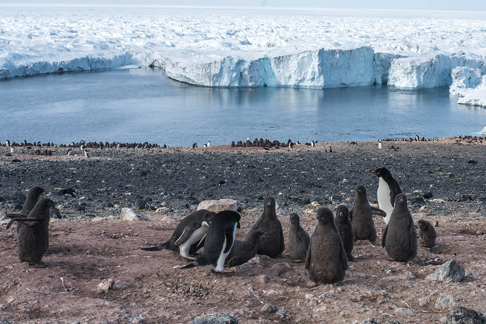
Unoccupied aerial systems (UAS) show promise for accurately surveying penguin populations in Antarctica. Two UNAVCO-supported UAS surveys of Adélie penguins this season (2018-19) will lend insight into penguin nesting habits. The first took place in early December 2018 with a key goal of counting the nesting adults. The second was timed with the chick counts … Continued

31 Dec 2018

Moving at the Speed of Dirt: TLS Used at Slumgullion Landslide

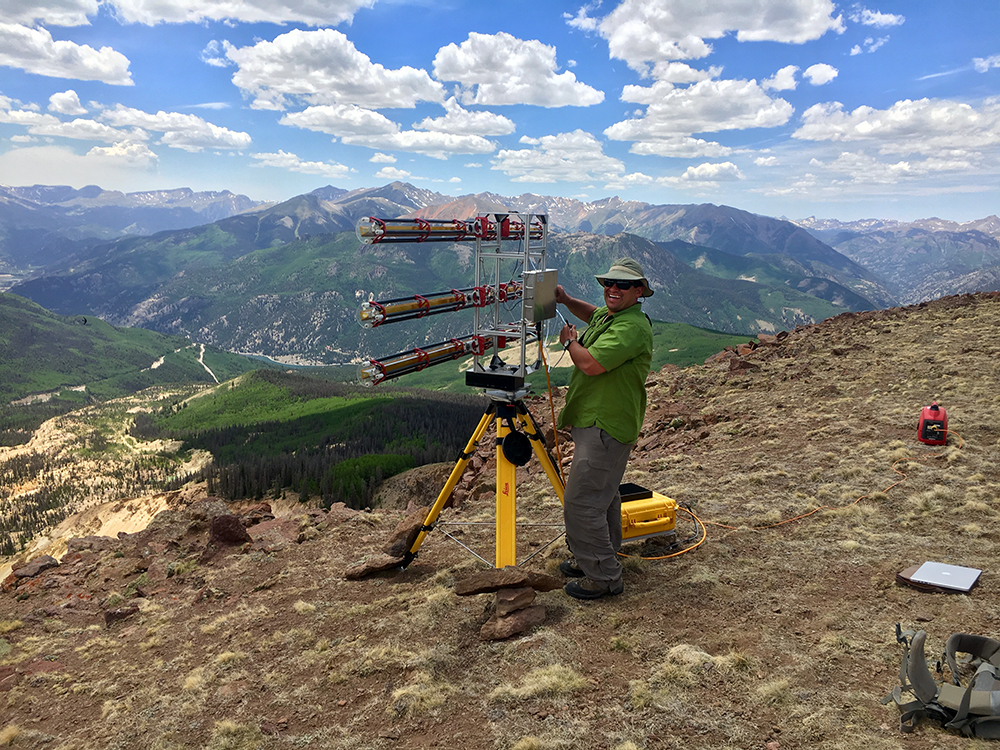
Overview Slumgullion landslide, in southwest Colorado near Lake City, is an ideal outdoor laboratory for comparing a variety of techniques used to measure slope displacements and understand landslide kinematics. The “slow” landslide is nearly constantly active, with surface displacements of several centimeters per day measured on some areas of the slide surface. The goal of … Continued