For current news content, please visit EarthScope.org.

Home

Filter

Showing 73 - 84 of 171 posts

28 Dec 2020

UNAVCO Community Election Results

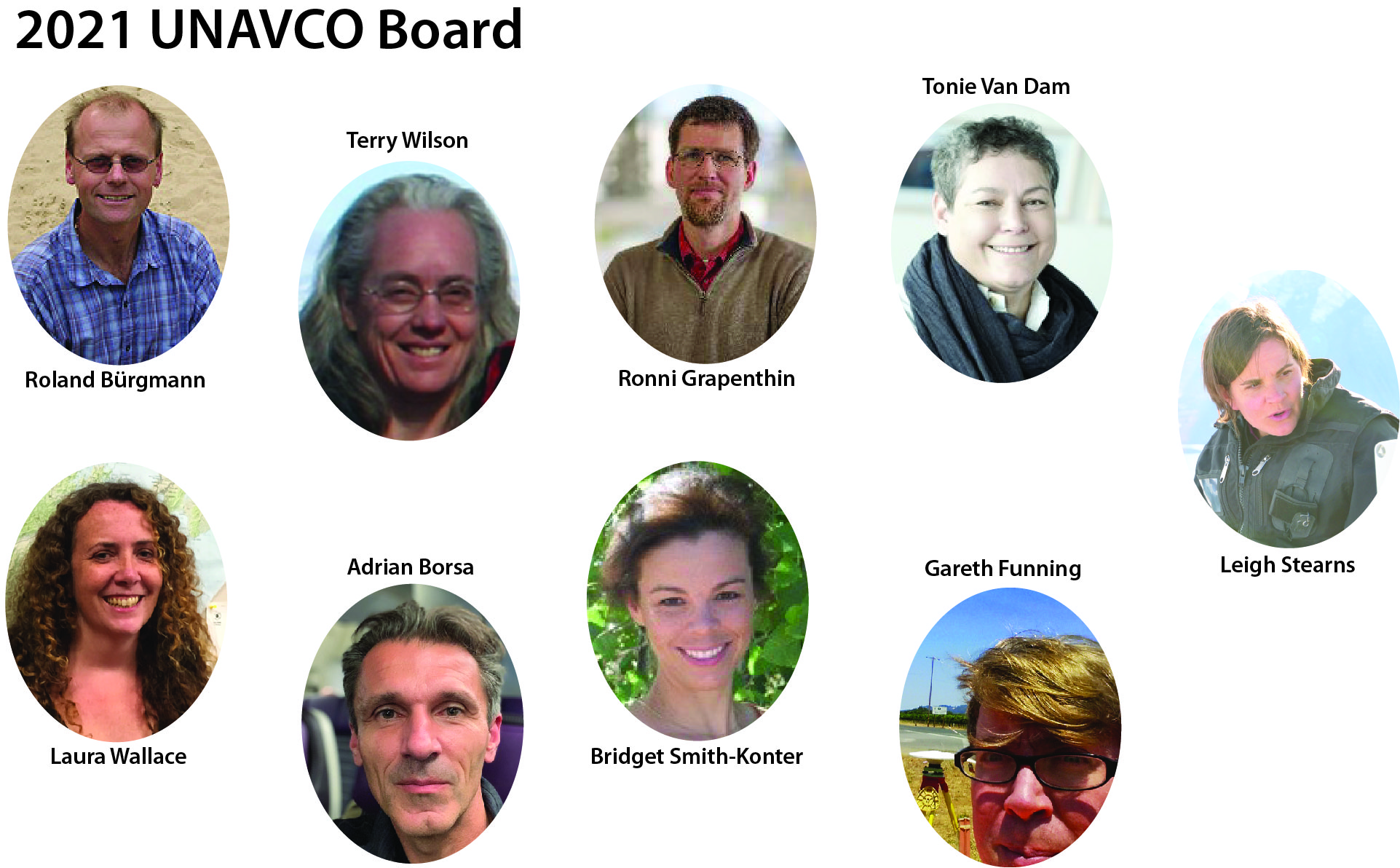
UNAVCO, as a university-governed consortium, elected new members to the Board of Directors and Nominating Committee. New members serve 3 year terms beginning January 2021. Board Directors are responsible for managing the business and affairs of UNAVCO, Inc. President Becks Bendick states:I’m so grateful to all of the members of our community who stepped forward … Continued

10 Nov 2020

You are not (ever!) alone: science, career, and caregiving in the time of COVID

This short panel discussion includes caregivers from academic administration, the National Science Foundation (NSF), UNAVCO, and IRIS sharing their personal experiences and practical resources for managing work and caregiving. It will hopefully provide some comic relief, a support network, and specific sources of assistance including universities, NSF and the GAGE and SAGE facilities.

10 Nov 2020

UNAVCO’s Statement on Equity, Inclusion, and Racial Justice

In light of the recent events that dramatically illuminate the inequities of our country, the staff of UNAVCO reaffirm our values and share actions we are planning to address inclusion. This means taking a hard look at our current organization and culture. We oppose racism in any form, and stand with the Black Lives Matter movement.

10 Nov 2020

Accessing UNAVCO / GAGE GNSS Data: Important update about Data Access Interface

The Data Access Interface-2 (DAI2) has been the primary method of searching and accessing GNSS data in the UNAVCO archive since 2007. It is a tool that was built in the Adobe Flash environment. Adobe announced in 2017 that Flash will reach end-of-life on December 31, 2020.

10 Nov 2020

UNAVCO & IRIS Collaborate in Alaska

As we work together to establish a vision for a comprehensive geophysical observatory beyond 2023, we recognize the importance of demonstrating the success of our collaboration now and in the past. The UNAVCO operated GAGE facility and the SAGE facility operated by IRIS comprise future components of The EarthScope Consortium, Inc.

10 Nov 2020

UNAVCO Community and Geodesy at 2020 AGU Fall Meeting

2020 Fall Meeting of the American Geophysical Union (AGU) is virtual and will take place 1-17 December. Scientific program content will be available on-demand, with pre-recorded oral presentations and virtual posters available for attendees to view and peruse outside of the scheduled live Q&A sessions during the meeting.

6 May 2020

Terrestrial Laser Scanning for Avalanche Forecasting

Project Overview Researchers at Montana State University’s Subzero Research Laboratory (SRL) are exploring the potential for terrestrial laser scanners (TLS) to detect avalanche risk in real-time. An avalanche early warning system could significantly reduce the costs associated with shutting down mountain roadways and ski areas as well as save lives. In early December 2019, UNAVCO … Continued

4 May 2020

Measuring Coastal Subsidence for Resilience in Florida

Project Overview Florida coastal communities are periodically subjected to flooding events, which are induced by heavy rain, high tide, and storm surge. Over the past decade several coastal communities have experienced an increase in flooding frequency, causing significant impacts to property, commerce, and overall quality of life. Shimon Wdowinski’s recent study of Miami Beach flooding … Continued

30 Mar 2020

Reinvigorating the Tanzania Volcano Observatory GNSS Network

Project Overview Ol Doinyo Lengai, a frequently active volcano in northern Tanzania, is instrumented with a real-time GNSS network to understand transient behavior and the relationship between volcanism and rifting. The data are telemetered to UNAVCO and then distributed free with open access through the UNAVCO Data Archive as well as the Tanzania Volcano Observatory … Continued

26 Mar 2020

Contributing to Sustainable Farming in Bangladesh with GNSS

Project Overview Farming in coastal Bangladesh relies on polders, low-lying tracts of land enclosed by earthen embankments that protect the land from tidal surges. In a dynamic deltaic environment and a changing climate, the polders are under threat. Factors influencing long-term stability of polders include subsidence, sedimentation, river migrations, flooding, storm surges, and sea level … Continued

26 Feb 2020

Supporting Multiple Projects in Nicaragua

Project Overview Fieldwork in Nicaragua conducted in early February 2020 supported three different projects funded by NSF and NASA, as noted above. The work involved setting up GPS equipment for campaign surveys (eGPS), installing new campaign monuments, repairing continuous GPS stations (cGPS), installing a new cGPS station, installing a gas sensor on Masaya volcano, UAS … Continued

14 Jan 2020

Multi-Method Topographic Survey at Lake Agnes Rock Glacier, Colorado

Project Overview The Lake Agnes rock glacier dominates the Lake Agnes cirque, near Cameron Pass in northern Colorado, however, little is known about its kinematics or dynamics. To determine the motion of the rock glacier, UNAVCO supported Colorado State University researchers with two sets of tools that were used simultaneously: terrestrial laser scanning (TLS) and … Continued