For current news content, please visit EarthScope.org.

Home

Filter

Showing 121 - 132 of 171 posts

30 Mar 2015

Low-Cost Additions to the Plate Boundary Observatory for Earthquake Early Warning

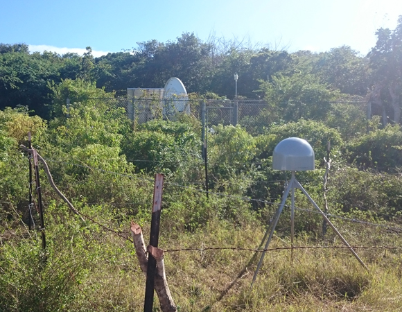
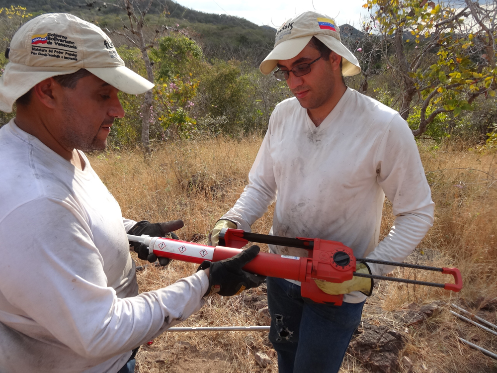
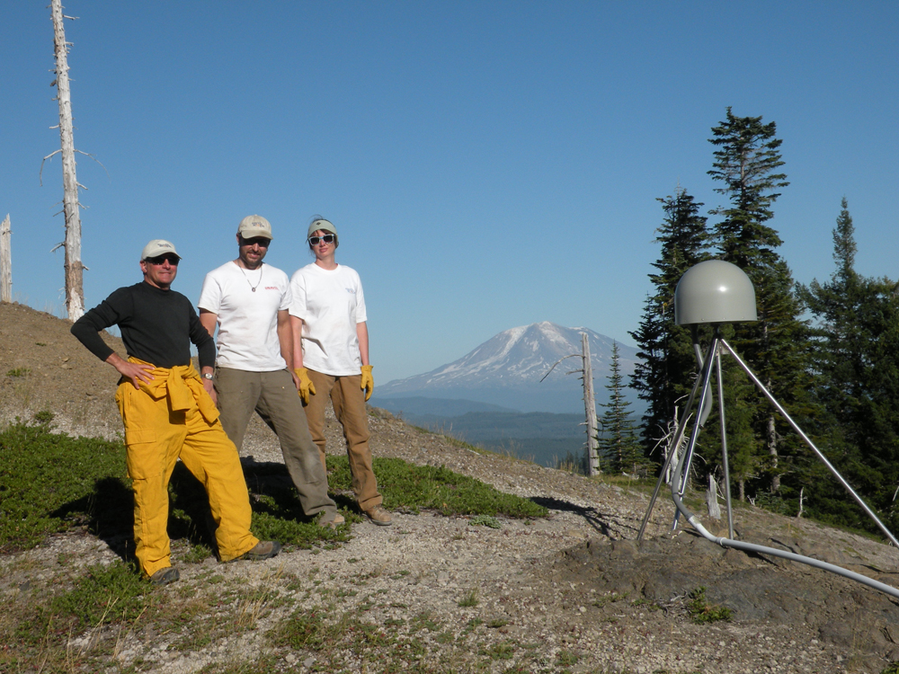
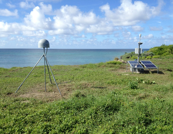
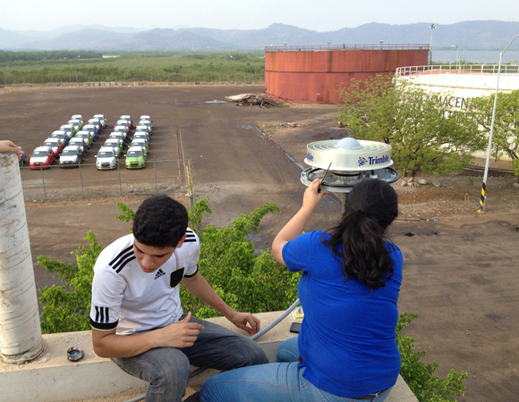
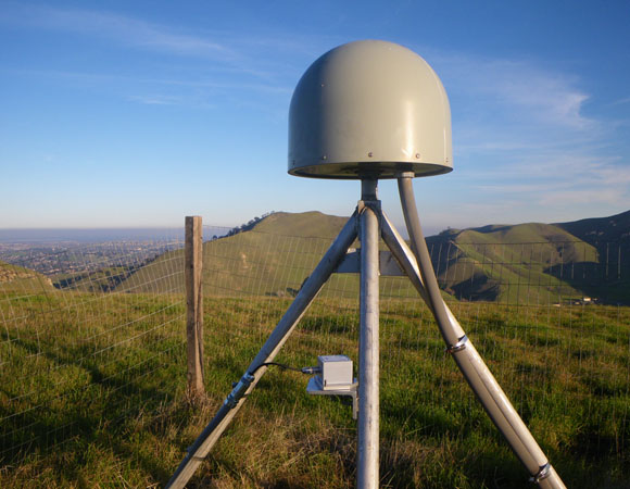
Project Overview Between December 2014 and February 2015, UNAVCO installed 10 accelerometers at existing Plate Boundary Observatory (PBO) GPS sites in the San Francisco Bay Area. Accelerometers in combination with high-precision GPS data provide a new interdisciplinary data type: full spectrum displacements based on an optimal combination of geodetic and seismic data. These can significantly … Continued

23 Feb 2015

UNAVCO installs COCONet cGPS site CN01 and upgrades sites BGGY and CN00 in Antigua and Barbuda

Project Overview Determining how the Caribbean plate moves with respect to the neighboring North America and South America plates has been a major challenge. Geologic plate motion models using seafloor magnetic anomaly rates, transform fault azimuths, and slip vectors are challenging due to sparse data. The only rates come from the Cayman Spreading Center, and … Continued

11 Feb 2015

UNAVCO installs COCONet cGPS sites CN39 and CN41 in Venezuela

Overview Determining how the Caribbean plate moves with respect to the neighboring North America and South America plates has been a major challenge. Geologic plate motion models using seafloor magnetic anomaly rates, transform fault azimuths, and slip vectors are challenging due to sparse data. The only rates come from the Cayman Spreading Center, and seismicity … Continued

20 Jan 2015

Mount St. Helens network maintenance brings all stations online

Plate Boundary Observatory The Plate Boundary Observatory (PBO) is a network of more than 1,200 continuous GPS instruments, borehole strainmeters and seismometers, and tiltmeters installed primarily throughout the Western United States. The objective of PBO is to explore land motions related to movement of the Pacific, Juan de Fuca, and North American tectonic plates; such motions inform … Continued

5 Dec 2014

UNAVCO installs COCONet cGPS site CN18 on Swan Island Honduras

Project Overview Determining how the Caribbean plate moves with respect to the neighboring North America and South America plates has been a major challenge. Geologic plate motion models using seafloor magnetic anomaly rates, transform fault azimuths, and slip vectors are challenging due to sparse data. The only rates come from the Cayman Spreading Center, and … Continued

19 Sep 2014

Monitoring Erosion on a Volcano: High Resolution Topographic Surveys of Mauna Kea, HI

Project Overview Mauna Kea, a dormant 13,800-foot-tall volcano on the Big Island of Hawaii, is experiencing substantial natural and human-caused erosion at its summit. The goal of this project is to monitor these erosion rates by providing a baseline high-resolution topographic map of the summit area to quantify natural and anthropomorphic influences. The project will … Continued

31 Jul 2014

Revealing climate change from a high elevation glacier in the Alaska Range

Project Overview Dartmouth-University of Maine-University of New Hampshire project is to reconstruct the history of precipitation and atmospheric circulation in Alaska during the last thousand years using ice core records of snow accumulation. The project centers around two new ice cores collected to bedrock (208 m) from the Mount Hunter Plateau in the Alaska Range of Denali … Continued

2 Jul 2014

Site upgrades bring stations online in the Dominican Republic

Project Overview Determining how the Caribbean plate moves with respect to the neighboring North America and South America plates has been a major challenge. Geologic plate motion models using seafloor magnetic anomaly rates, transform fault azimuths, and slip vectors are challenging due to sparse data. The only rates come from the Cayman Spreading Center, and … Continued

25 Jun 2014

UNAVCO installs COCONet cGPS site CN21 in Honduras

Overview Determining how the Caribbean plate moves with respect to the neighboring North America and South America plates has been a major challenge. Geologic plate motion models using seafloor magnetic anomaly rates, transform fault azimuths, and slip vectors are challenging due to sparse data. The only rates come from the Cayman Spreading Center, and seismicity … Continued

25 Jun 2014

UNAVCO installs COCONet cGPS site CN21 in Honduras

Project Overview Determining how the Caribbean plate moves with respect to the neighboring North America and South America plates has been a major challenge. Geologic plate motion models using seafloor magnetic anomaly rates, transform fault azimuths, and slip vectors are challenging due to sparse data. The only rates come from the Cayman Spreading Center, and … Continued

28 Apr 2014

UNAVCO installs COCONet cGPS site CN46 in Carriacou, Grenada

Project Overview Determining how the Caribbean plate moves with respect to the neighboring North America and South America plates has been a major challenge. Geologic plate motion models using seafloor magnetic anomaly rates, transform fault azimuths, and slip vectors are challenging due to sparse data. The only rates come from the Cayman Spreading Center, and … Continued

12 Apr 2014

Earthquake and tsunami science and preparedness for coastal Cascadia educators

Project Overview Through a grant from the EarthScope Program of the National Science Foundation, the Cascadia EarthScope Earthquake and Tsunami Education Program (CEETEP) offers four-day workshops to foster community engagement in earthquake and tsunami science and preparedness and to encourage collaboration and exchange between formal and informal educators. The project is collaborative between Oregon State … Continued