For current news content, please visit EarthScope.org.

Home

Filter

Showing 109 - 120 of 171 posts

15 Feb 2017

The NASA Space Geodesy Project – A Next-Generation Space Geodetic Observing Network

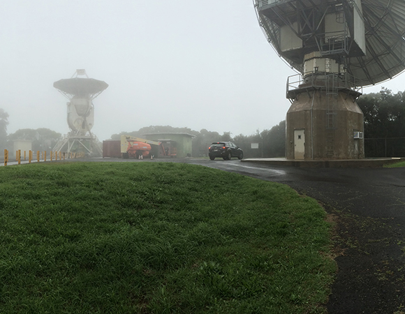
Project Overview NASA’s Space Geodesy Project (SGP) was initiated in order to develop and maintain a global network of next-generation space geodetic observing instruments. The network will be comprised of core sites around the globe that utilize four primary space-geodetic techniques: Very Long Baseline Interferometry (VLBI), Satellite Laser Ranging (SLR), Doppler Orbitography by Radiopositioning Integrated … Continued

27 Jan 2017

Installation of CORS cGPS Station in Seward, Alaska

Project Overview The National Geodetic Survey (NGS), an office of NOAA’s National Ocean Service, manages a network of Continuously Operating Reference Stations (CORS) that provide Global Navigation Satellite System (GNSS) data in support of positioning, meteorology, space weather, and geophysical applications throughout the United States, its territories, and several foreign countries (ref: CORS website). In September, … Continued

22 Nov 2016

GPS Observations of Post-seismic Deformation from the Pawnee, Oklahoma, Earthquake

Project Overview This project came about quickly after the 3 September 2016, Mw 5.8, Pawnee, Oklahoma, earthquake. It is collaboration between the University of Memphis, University of Oklahoma (OU), and Oklahoma Geological Survey (OGS). The project deployed eight GPS stations around the causative Sooner Lake fault, in order to measure the years-long relaxation of the … Continued

16 Nov 2016

COCONet GPS Network Expansion: Redonda Island

Project Overview As part of the ongoing COCONet installation phase, one continuously operating GPS site was installed on Redonda Island in the West Indies of the Caribbean ocean. The island belongs to the nation of Antigua but its nearest neighbor is Montserrat, located 12 miles due southeast. Redonda is an uninhabited volcanic remnant characterized by … Continued

29 Sep 2016

Eruption Response and Network Maintenance in Nicaragua

Project Overview In 21 days, UNAVCO field engineer Mike Fend, Kendall Wnuk of Penn State University, and Allan Morales of INETER visited three active volcanoes and 25 GPS stations. This tally includes both COCONet stations and stations in local volcanic networks in Nicaragua. By air and ground, the team performed maintenance on 15 telemetered cGPS … Continued

29 Aug 2016

Station Recovery in Haiti

Project Overview Determining how the Caribbean plate moves with respect to the neighboring North America and South America plates has been a major challenge. Geologic plate motion models using seafloor magnetic anomaly rates, transform fault azimuths, and slip vectors are challenging due to sparse data. The only rates come from the Cayman Spreading Center, and … Continued

30 Mar 2016

Installation of CORS cGPS Station in Sitka, Alaska

Project Overview UNAVCO engineers in collaboration with the City of Sitka installed station AKSI in Sitka, Alaska, on the historical Sitka Post Office. The station is part of the National Geodetic Survey (NGS) CORS network that provides GNSS data in support of three-dimensional positioning, meteorology, space weather, and geophysical applications. Surveyors, GIS users, engineers, scientists, … Continued

15 Oct 2015

PBO Collaborative Work with USGS Alaska Volcano Observatory and IRIS on Augustine Volcano, Alaska

Project Overview The 2015 season in Alaska was defined by resource sharing and cooperative work with a number of agencies. The largest collaborative effort was a week-long project based in Homer, Alaska with work on and around Augustine volcano. UNAVCO PBO field engineers worked with staff from the USGS Alaska Volcano Observatory (AVO) and IRIS, … Continued

28 Aug 2015

Dataworks for GNSS Software Enables Regional Data Centers in the Central America and the Caribbean as part of COCONet and TLALOCNet

Project Overview Geodetic measurements with GNSS are a prime example of an observational data set that becomes far more valuable when scientists can access data without regard to national boundaries. Many governmental and research organizations are increasingly setting up GNSS stations worldwide, and are often open to sharing these data but lack the resources or … Continued

6 Aug 2015

Data Recovery and Field Response to April 2015, Mw 7.8 Nepal Earthquake

Project Overview Just before noon local time on April 25, 2015 at 11:56 am, a moment magnitude (Mw) 7.8 earthquake struck central Nepal and was felt in the capital, Kathmandu. Please see the U.S. Geological Survey (USGS) summary and Nepal’s National Seismological Centre summary of the Gorkha earthquake for more information about the event and aftershocks. Hours after the … Continued

29 Jun 2015

UNAVCO installs COCONet cGPS site CN51 on Sombrero Island, Anguilla

Project Overview Determining how the Caribbean plate moves with respect to the neighboring North America and South America plates has been a major challenge. Geologic plate motion models using seafloor magnetic anomaly rates, transform fault azimuths, and slip vectors are challenging due to sparse data. The only rates come from the Cayman Spreading Center, and … Continued

27 May 2015

Introducing Undergraduates of All Majors to Geodesy in California’s Eastern Sierra

Project Overview Despite day after day of rain in California’s drought, 15 students of various majors are traipsing around the desert in Indiana University’s Volcanoes of the Eastern Sierra intro-level field course. The course is led by UNAVCO community member Michael Hamburger and is still going strong after 13 years. UNAVCO supports the class with … Continued