
The new National Geodetic Survey (NGS) CORS station installed by UNAVCO in Seward, Alaska. (Photo/John Sandru, UNAVCO). 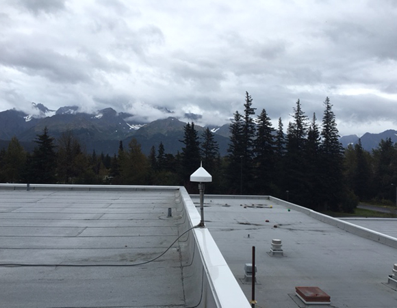
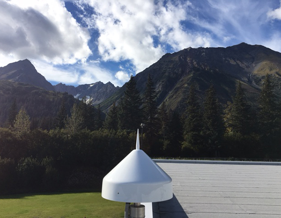
Seward’s steep mountains provide a dramatic backdrop for its new CORS station. (Photo/John Sandru, UNAVCO) 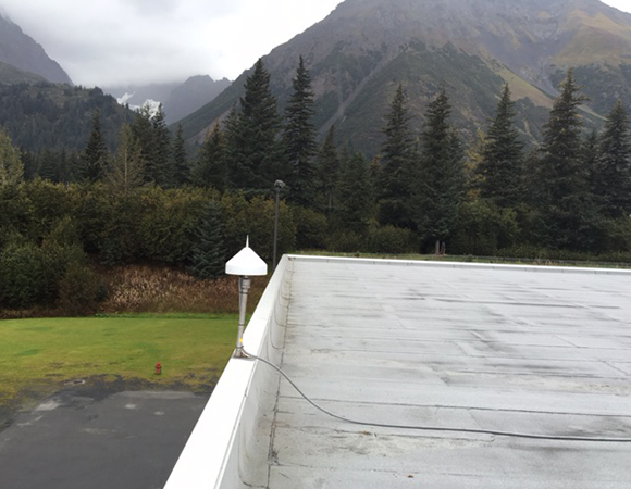
Mountains and humidity at the new CORS station installed by UNAVCO in Seward, Alaska. (Photo/John Sandru, UNAVCO) 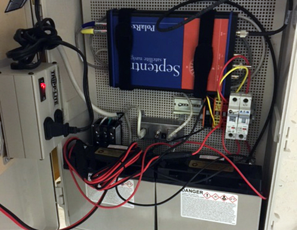
The new CORS station in Seward, Alaska is equipped with a Septentrio PolaRx5 GNSS receiver. (Photo/John Sandru, UNAVCO)
Project Overview
The National Geodetic Survey (NGS), an office of NOAA’s National Ocean Service, manages a network of Continuously Operating Reference Stations (CORS) that provide Global Navigation Satellite System (GNSS) data in support of positioning, meteorology, space weather, and geophysical applications throughout the United States, its territories, and several foreign countries (ref: CORS website).
In September, UNAVCO installed a new CORS site in Seward, Alaska, as part of ongoing UNAVCO support of the CORS network. Data downloading and distribution is handled by CORS.
UNAVCO supports CORS installations and maintenance around the world. Future installations include a station in Nome, Alaska.
Significance
Seward, Alaska lies on Alaska’s southern coast, in an area susceptible to megathrust earthquakes and their accompanying tsunamis. Seward’s port was devastated by the tsunami generated by the magnitide 9.2 Great Alaska Earthquake in 1964, and continues to be a major tourist destination due to its dramatic setting and rich sea life. The CORS station in Seward is a multipurpose site serving surveyors, GIS users, engineers, scientists, and the public at large.
Project Information
- Principal Investigators: Giovanni Sella
- UNAVCO Engineer(s): John Sandru
- Dates: September 12 – 16, 2016
- Location(s): Seward, Alaska
- Funding Source: NOAA – NGS CORS
- Map of Seward, Alaska
Related Links
Written by:
- Beth Bartel with materials from John Sandru
- Posted: 27 January 2017
- Last updated: 22 June 2021
- Tags: GPS/GNSS, project highlights
-

