
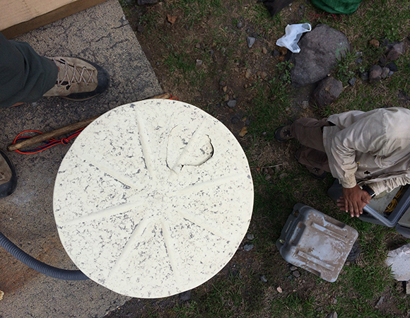
The antenna at TECF, which continued to function after being hit with a volcanic bomb during the November 2015 eruption of Telica volcano. (Photo/Mike Fend, UNAVCO) 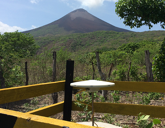
Manually downloading data and removing the wooden fence around station MOGA north of Momotombo Volcano.(Photo/Mike Fend, UNAVCO) 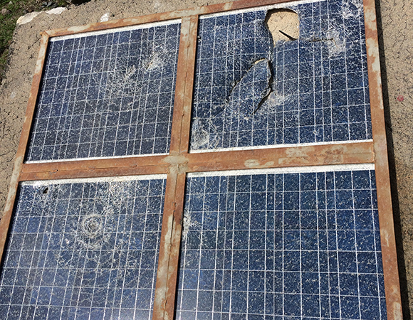
Damage from the November 22, 2015 eruption of Telica volcano. (Photo/Mike Fend, UNAVCO) 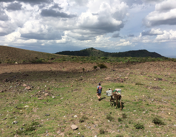
Collaborating with local farmer Armelio to pack out seismic equipment for Diana Roman at the Carnegie Institute in Washington. (Photo/Mike Fend, UNAVCO) 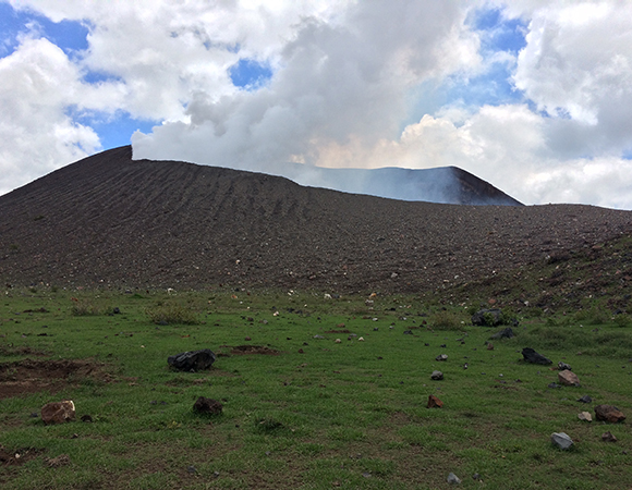
Telica crater and its new lawn ornaments. Note the various bomb holes. (Photo/Mike Fend, UNAVCO) 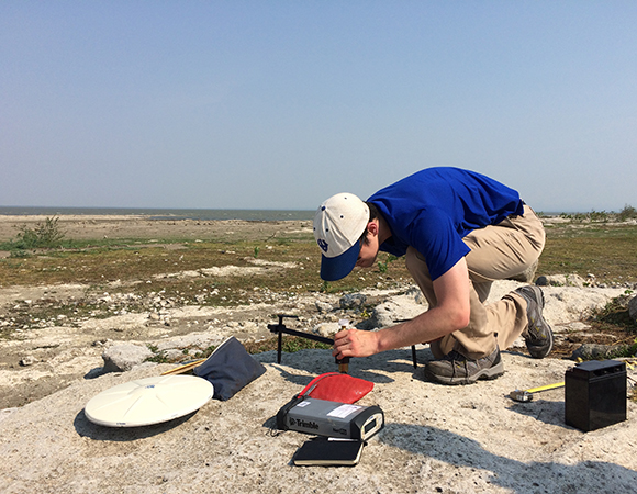
Two hours after landing in Nicaragua, Kendall Wnuk of Penn State learns how to setup a campaign spike mount at HUET for eGPS measurements. (Photo/Mike Fend, UNAVCO) 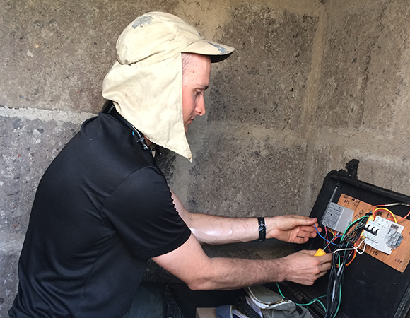
UNAVCO field engineer Mike Fend works on station JCFI in a hot enclosure. (Photo/Kendall Wnuk, Penn State) 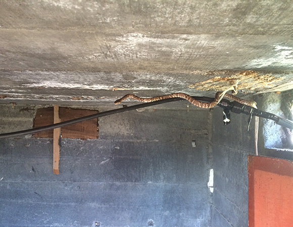
A snake escaping the heat of the day at CNG2 near Cerro Negro Volcano. (Photo/Mike Fend, UNAVCO) 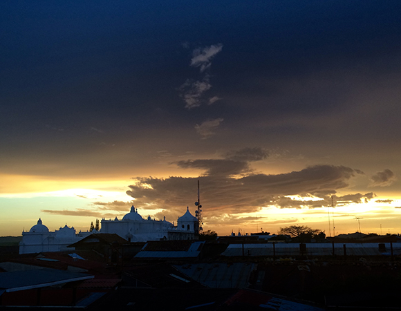
Monsoon approaching in Leon over the Basilica Catedral de la Asuncion. (Photo/Mike Fend, UNAVCO) 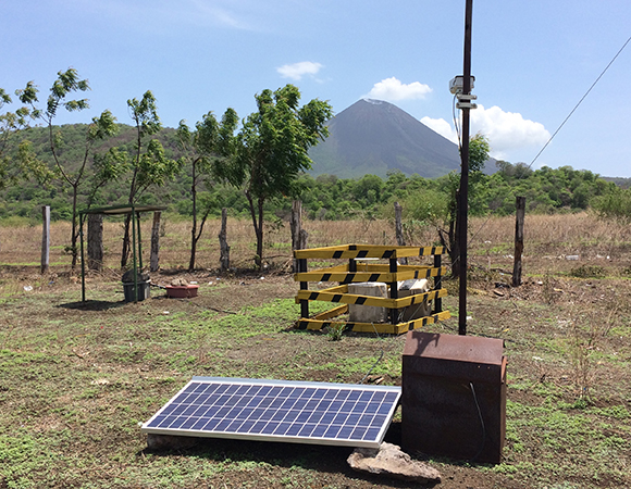
Removing the wooden fence at MOMC in order to improve geodetic data quality. (Photo/Mike Fend, UNAVCO) 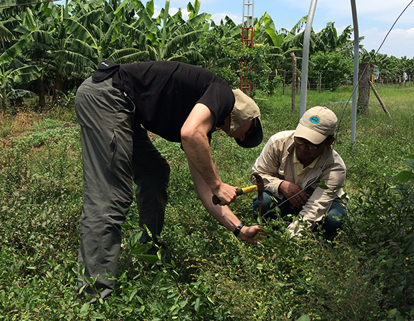
Allan Morales of INETER and Mike Fend of UNAVCO hardening grounding capacity at JCFI. Bananas in the background eventually get sent to the U.S. (Photo/Kendall Wnuk, Penn State) 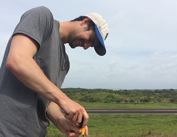
Kendall Wnuk of Penn State, swapping LNAs (low noise amplifiers) as part of preventative maintenance for COCONet station CN30 in Bluefields, Nicaragua. (Photo/Mike Fend, UNAVCO) 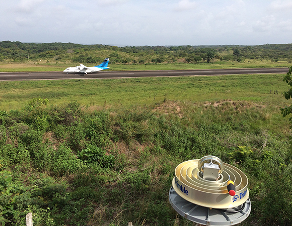
Ready to install a refurbished LNA for COCONet station CN30 at Bluefields, Nicaragua. (Photo/Mike Fend, UNAVCO) 
Looking southeast from station HOYN, located east of Telica volcano. This station was converted from a cGPS station to an eGPS site. (Photo/Mike Fend, UNAVCO)
Project Overview
In 21 days, UNAVCO field engineer Mike Fend, Kendall Wnuk of Penn State University, and Allan Morales of INETER visited three active volcanoes and 25 GPS stations. This tally includes both COCONet stations and stations in local volcanic networks in Nicaragua. By air and ground, the team performed maintenance on 15 telemetered cGPS stations, occupied six eGPS sites, and downloaded data from four semi-permanent campaign stations.
COCONet stations CN22 (Poneloya), CN29 (Puerto Cabezas), and CN30 (Bluefields), which measure ongoing deformation related to the interaction of the Cocos and Caribbean plates and also atmospheric effects, were previously on radio networks that suffered from annual lightning damage. The three stations are now telemetering data through cellular modems, with a lower probability of being affected by storms. The 12 remaining telemetered sites, six eGPS sites, and four semi-permanent campaign stations are part of local volcanic networks at Telica, Cerro Negro, and Momotombo volcanoes. Site maintenance included receiver and battery replacements, hardening grounding for lightning protection, and repairing communications systems.
Significance
Nicaragua lies at an active margin, where the Cocos plate subducts northeastward beneath the Caribbean plate. This subduction produces both earthquakes and the country’s 19 active volcanoes trending northwest from its southern border with Costa Rica. 2015 was a “hot” year for Nicaraguan volcanoes: Telica, erupting every decade or so, spewed ash and lava in a dramatic vulcanian eruption on November 22, 2015. About a week later and less than 40 km (25 miles) away, Momotombo awoke for the first time in 110 years in a strombolian eruption. Both of these volcanoes are instrumented in a collaboration between INETER, Penn State University, and University of Southern Florida, with support from UNAVCO.
Collaborations are key to keeping the mulitiple networks running. Almost all telemetered cGPS stations in Nicaragua are now colocated with INETER’s seismic and/or meteorological stations. Sharing of site resources ranges from simply sharing space in an enclosure to directly piggybacking off one another’s power systems. Because of mutual interest in keeping the various data streams flowing, and, in particular, INETER’s heavy investment in geoscience research, downed sites are fixed relatively quickly.
Challenges
May marks the beginning of monsoon season in Nicaragua, bringing with it a unique set of challenges. Most days were close to 100℉, with temperatures rising to closer to 110℉ inside the concrete hut enclosures. Also of peril in the huts were the ants, scorpions, false scorpions, spiders, wasps, and snakes commonly found hiding behind equipment. When the heat dissipated it was usually due to quick-forming, dramatic lightning storms.
The Case of the Missing Satellite Signals
One specific challenge came with troubleshooting cGPS station TELN, which was not collecting data. This site is critical in the continuous Telica network, not only because of its proximity to Telica’s crater but also because it relays data from most other Telica stations, and houses two seismometers and a camera used to monitor the crater. The site also has the highest risk of lightning strikes, because of its exposure on a barren ridge.
Upon visiting the site, the maintenance team found the original Trimble NetRS receiver not tracking satellites but otherwise to be working properly. Since it is uncommon for Trimble Zephyr Geodedic 2 antennas to fail, the team thoroughly inspected the antenna cable, fixed two heavily corroded antenna cable terminals, and tested a new Trimble NetR9 receiver, with no luck. The team then mixed and matched different antennas, receivers and cables, with the same results—still no satellites tracked. Back at the team’s home base in León, all receivers, antennas, and cables worked properly, pointing to an environmental factor at TELN. Back at the site, the tested equipment was installed with no success. The team solved the problem onsite by trial and error, walking the antenna around the site. About 30 meters from the enclosure, the antenna tracked 12 satellites, yet lost all satellites when the team moved the antenna closer to the hut. They replicated the results with a handheld GPS device. The prognosis: an electronic device was leaking RFI in a 3-meter radius around the hut. The team disconnected each device to find the culprit—a faulty GPS antenna connected to a seismometer was rebroadcasting its signal and jamming the other GPS antennas.
Project Information
- Principal Investigators:
Peter LaFemina (PSU), Glen Mattioli (UNAVCO), Halldor Geirsson, Rocco Malservisi (USF) - UNAVCO Engineer(s): Mike Fend
- Dates: May 8 – May 29, 2016
- Locations: Nicaragua
- Funding Source: NSF, COCONet, and NSF RAPID (Momotombo)
- Map of Nicaragua
Related Links
Written by:
- Mike Fend and Beth Bartel 29 September 2016
- Posted: 29 September 2016
- Last updated: 23 June 2021
- Tags: GPS, project highlights
-

