
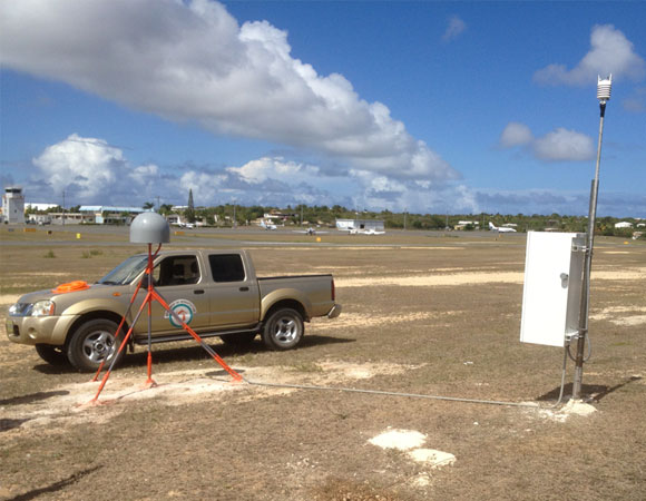
Complete COCONet CN02 station (not including the solar panels). Photo by Mike Fend. 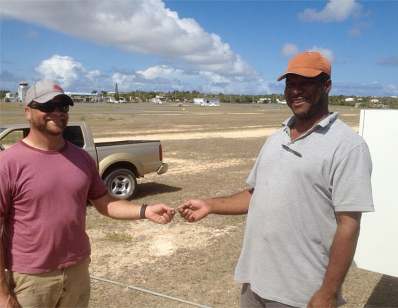
UNAVCO Field Engineer John Sandru passes off CN02 station key to Anguillan Airport Maintenance Supervisor Edwin Carty. Photo by Mike Fend. 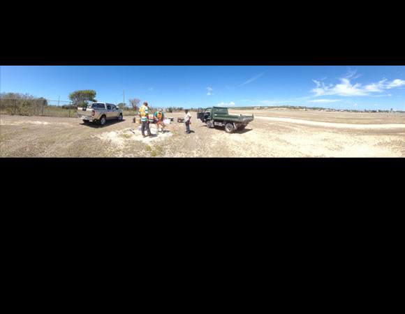
Installing COCONet site CN02. Photo by Mike Fend. 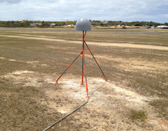
COCONet CN02 monument. Photo by Mike Fend.
Project Overview
Determining how the Caribbean plate moves with respect to the neighboring North America and South America plates has been a major challenge. Geologic plate motion models using seafloor magnetic anomaly rates, transform fault azimuths and slip vectors are challenging due to sparse data. The only rates come from the Cayman Spreading Center, and seismicity at the eastern boundary is low due to slow convergence. Moreover, the boundary geometry is still unclear, since the Caribbean plate’s north and south boundaries are complex deformation zones.
GPS data continues to provide key clues to the Caribbean region’s geologic faults. GPS stations are currently being installed as part of the Continuously Operating Caribbean GPS Observational Network (COCONet), strengthening the indispensible collection of data belonging to a region that faces many atmospheric and geologic natural hazards.
UNAVCO Connection
With assistance from the Anguillan government, UNAVCO installed a continuous GPS/MET site in Anguilla, one of the most northerly of the Leeward Islands in the Lesser Antilles, lying east of Puerto Rico and the Virgin Islands, and directly north of Saint Martin. The main island of Anguilla is approximately 16 miles (26 km) long by 3 miles (5 km) wide at its widest point. This is the most northeastern COCONet site to be installed. The Anegada Passage, separates Anguilla from the British Virgin Islands. The 40-mile-wide (65 km) channel connects the Atlantic Ocean with the Caribbean Sea.
Significance
The COCONet project was funded by the National Science Foundation (NSF) with the aim of developing a large-scale geodetic and atmospheric infrastructure in the Caribbean that will form the backbone for a broad range of geoscience and atmospheric investigations and enable research on process-oriented science questions with direct relevance to geohazards. The Caribbean Plate is a unique opportunity to monitor movement, because most of the plate rests underwater. Prior to this endeavor there has been limited monitoring of the Caribbean Plate. Furthermore, each site is equipped with a weather station which records vital atmospheric data that is analyzed by our friends at the University Corporation for Atmospheric Research (UCAR) to monitor the movement of potentially deadly hurricanes.
Project Information
- Principal Investigators: COCONet
- UNAVCO Engineers: John Sandru, Mike Fend
- Date: 9 April 2013 through 19 April 2013
- Locations: CN02: The Valley, Anguilla
- Funding Source: NSF, COCONet
- Map of Anguilla
Related Links
Written by:
- Posted: 8 May 2013
- Last updated: 15 July 2021
- Tags: COCONet, GPS/GNSS, project highlights
-

