The module was designed for upper-level geoscience majors in a field geology course. It works well in both traditional field "camps" or in conjunction with shorter field trips in geomorphology, structural geology, geophysics, or remote sensing/GIS courses.The material works well for a group of approximately 20 or fewer students with an instructor and teaching assistant/s.
Students should already have the ability to record and interpret basic field observations, correctly use field maps, and do trigonometry in addition to other basic calculation skills. They should have at least standard computing skills in Excel and Word. Basic proficiency in Google Earth will facilitate field recon and planning work. If at least one student per group has GIS skills, it will enhance the ability to do indepth analysis of data.
The module is ideally situated mid-way through the course, so students will already have some experience recording basic field observations.
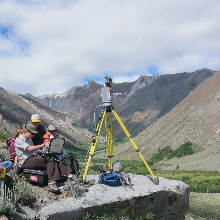
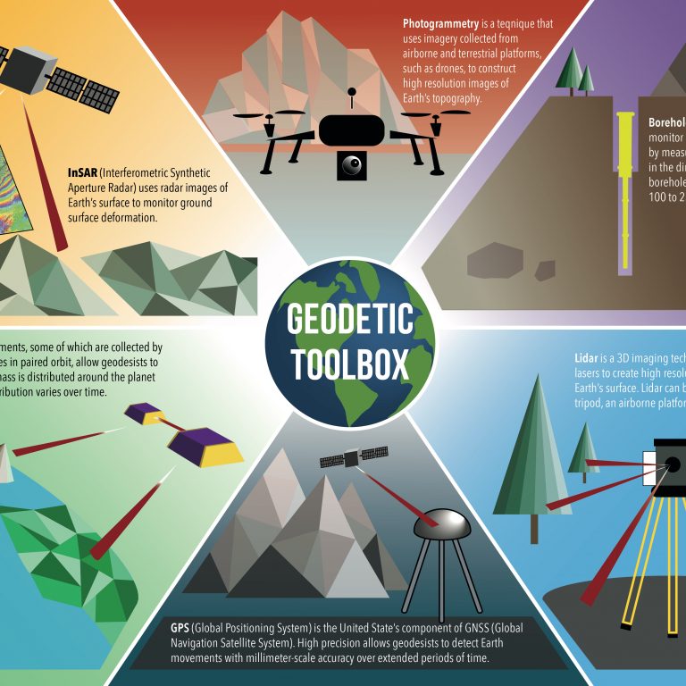
Geodetic imaging technologies (laser scanning, structure from motion, terrestrial radar) have emerged as critical tools for a range of earth science research applications from hazard assessment to change detection to stratigraphic sequence analysis. Field courses offer an excellent opportunity for geoscience students to gain field geophysics research skills. With support from NSF, Indiana University Geologic Field Station and UNAVCO (www.unavco.org; a university-governed consortium that supports geodesy research and learning) have developed this module for a geoscience field camp in which students learn to conduct a terrestrial laser scanner (TLS) survey to address real field research questions. TLS is a ground-based remote sensing tool that generates 3-dimensional point clouds, with widespread research applications in geodesy, geomorphology, structural geology, and other sub-fields of geology. In the course of the module students move from learning the basics of equipment set up and survey design to being able to apply the TLS technique to geoscience field investigations and larger societally importance questions that can be addressed.
Unless an instructor is experienced with TLS and has access to a scanner, technical field engineering and equipment support will be necessary. UNAVCO does provide limited support for field education, when equipment and personnel are not needed for research support. Complete both the Support request form and the Field Education Support Request Form. Learn more about Field Geodesy Learning at UNAVCO.
Detailed teaching tips are available in the Instructor Module Overview document below. It details considerations for: keeping students occupied, computing and equipment needs, survey site selection, incorporating metacognition and societal importance, and adapting the module for use with Structure from Motion (SfM) or in non-field courses.
The Overview gives overarching materials descriptions, as well as advice to teaching materials adopters. The two manuals (field methods and data processing) are used thoroughout the module.
Instructor Module Overview0.3 MB • v: Oct 29, 2015
15 MB • v: July 14, 2015
Field experience utilizing geodetic and geophysical tools provides a unique opportunity for upper-level undergraduates to learn research skills applicable to their future graduate research or career path. This unit introduces students to the technical aspects of TLS survey design and execution.
Unit 1 Materials80 MB • v: Oct 30, 2015
TLS has many applications in sedimentology research, including lithological identification and analysis, sediment surface topography, and sequence stratigraphy. In this unit, students will design a survey of a geologic outcrop to conduct a sequence stratigraphy analysis. The goal is to calculate deposition duration and sedimentation rate based on thicknesses extracted from the data.
Unit 2 Materials4 MB • v: Oct 31, 2015
Fault scarps are the topographic evidence of earthquakes large and shallow enough to break the ground surface, and are evidence of Quaternary fault activity. In this unit, students will design a survey of a fault scarp. The goal is to create a brief report summarizing the methods used and Quaternary history of displacements on the fault. This unit also includes an additional optional exercise in data processing. Students will transform a point cloud into a DEM. Then students will be able to extract profiles of the scarp using ArcGIS and import these profiles into MATLAB to conduct hillslope diffusion analysis.
Unit 3 Materials40 MB • v: Oct 31, 2015
Unit 3 Example materials from Indiana University Field Camp1 MB • v: Oct 31, 2015
One major application of TLS in geoscience research is quantifying change in geomorphological settings, such as a fluvial system, forest fire, landslide, or any other erosional features. This is done by finding the difference between georeferenced repeat data sets. Students will be able to clean up the data, remove vegetation, transform the point cloud to a DEM, and then compare that DEM to a previously collected dataset to quantify change.
Unit 4 Materials1 MB • v: Oct 31, 2015
Unit 5 is a final exercise that will take a full field day. The exercise will evaluate students’ skills in survey design, survey execution, and simple data exploration and analysis. Unit 5 is the summative assessment for the module. As this is not designed to test any specific geologic context, we include a number of potential study topics and associated questions.
Unit 5 Materials1 MB • v: Oct 30, 2015
Example Summative Assessment questions from Indiana University field camp1 MB • v: Oct 30, 2015
All units in this module can also be completed using the Structure from Motion (SfM) method. SfM could be used as the only option or be used in conjunction with TLS data collection to keep students occupied when in the field. If you use both, students can compare and contrast the benefits of the two methodologies in their write-ups and create a guide for when TLS vs. SfM is preferable.
The main difference in using SfM and TLS is the allocation in time. SfM generally takes less field time but considerably more processing time. SfM models take hours or even days to be generated, depending on processing power and field area. Ideally, you could have students collect photographs in the morning and then process them during the day while doing other fieldwork or collecting TLS data. The other difference is the software. Once the model has been generated, you will need to georeference it and then export to a different program – such as CloudCompare – to actually explore the data.
The provided file overviews the SfM workflow, equipment, and software considerations. SfM Intro Guide5 MB • v: Oct 22, 2015
This module was jointly developed by UNAVCO and Indiana University (IU). It was funded by the National Science Foundation Geodetic Facility GAGE (Geodesy Advancing Geosciences and EarthScope), which is run by UNAVCO. Initial materials were developed by Bruce Douglas (IU), David Phillips (UNAVCO), and Chris Crosby (UNAVCO). Final expansion, compilation, and context were done by Kate Shervais and Beth Pratt-Sitaula (UNAVCO).
The module development and assessment followed the same basic model as the GETSI (GEodesy Tools for Societal Issues) and InTeGrate projects.
Last modified: 2024-03-14 11:27:25 America/Denver