Education Help with Education Outreach Animations & Videos Calendars Educational Giveaways UNAVCO Global Data Ruler PBO52 Playing Cards Velocity Map Posters UNAVCO Educator Packet Hands-on Demonstrations Infographics Interactive Data & Mapping Tools

Pinpoint location with GPS


  • About the demonstration

    Using string, bubble gum, and a model of a GPS station, demonstrate how GPS work to pinpoint a location on Earth.

    Precisely knowing a location on Earth is useful because our Earth's surface is constantly changing from earthquakes, volcanic eruptions, tectonic plate motion, landslides, and more. Thus, scientists can use positions determined with GPS to study all these Earth processes.

    Demonstration length

    5 – 10 minutes for setup
    10 – 15 minutes to demonstrate

    Major concepts

    • GPS satellites send a signal with important information that can be used by GPS receivers on the ground.
    • How long a signal takes to reach a GPS receiver tells us distance between a satellite and GPS.
    • Measuring position in this way is called "trilateration."
    • We need three satellites to find position and a fourth satellite for precision.

    Supplies

    • 4 differently colored strings
    • 4 pieces of bubble gum
    • 4 stands
    • Gumdrops and toothpicks (to make GPS models)
    • Tape

    Instructions for assembly

    • Secure each of the strings to different stands.
    • Tape a piece of bubble gum where the strings are attached to the stands.
    • Construct a GPS model with the toothpicks and a gumdrop. Place in center of stands.
    • Ensure the ends of each string meet at the GPS model.

    Leading the demonstration

    1. Describe the parts of the demonstration:
      • Each string is a satellite signal, the length of which is the distance from a satellite to a GPS station.
      • The bubble gum is a satellite.
    2. Discuss the basics of GPS:
      • GPS satellites orbit the Earth at a fixed altitude of 20,200 km.
      • A GPS satellite sends a signal and "tells" a GPS receiver its name and position in space. The GPS receiver than calculates the time it took the signal to reach the receiver and calculates distance. Signals are sent out multiple times per second.
    3. With help from volunteers, show how the GPS location becomes more accurate with the addition of each satellite:
      • One satellite - GPS could be anywhere on a sphere.
      • Two satellites - GPS could be anywhere on a circle formed at the intersection of two spheres.
      • Three satellites - GPS could be at one of two points where the three spheres intersect. Fortunately, the GPS "knows" which sphere is the Earth.
      • Four satellites - GPS location becomes more precise.

    Sample questions to consider

    • How do we use GPS in our daily lives? What does it tell us?
    • What do you think the bubble gum represents? The string? The length of string?
    • With only one satellite, how well do you think we can determine location?
    • What can we do to increase the precision of our location measurement?
    • Why do you think a fourth satellite is necessary in our location measurement?
  • Measuring plate motion with GPS: Iceland
    A complete lesson plan from UNAVCO's Modules & Activities page featuring this demonstration

    Helpful supplemental materials include:

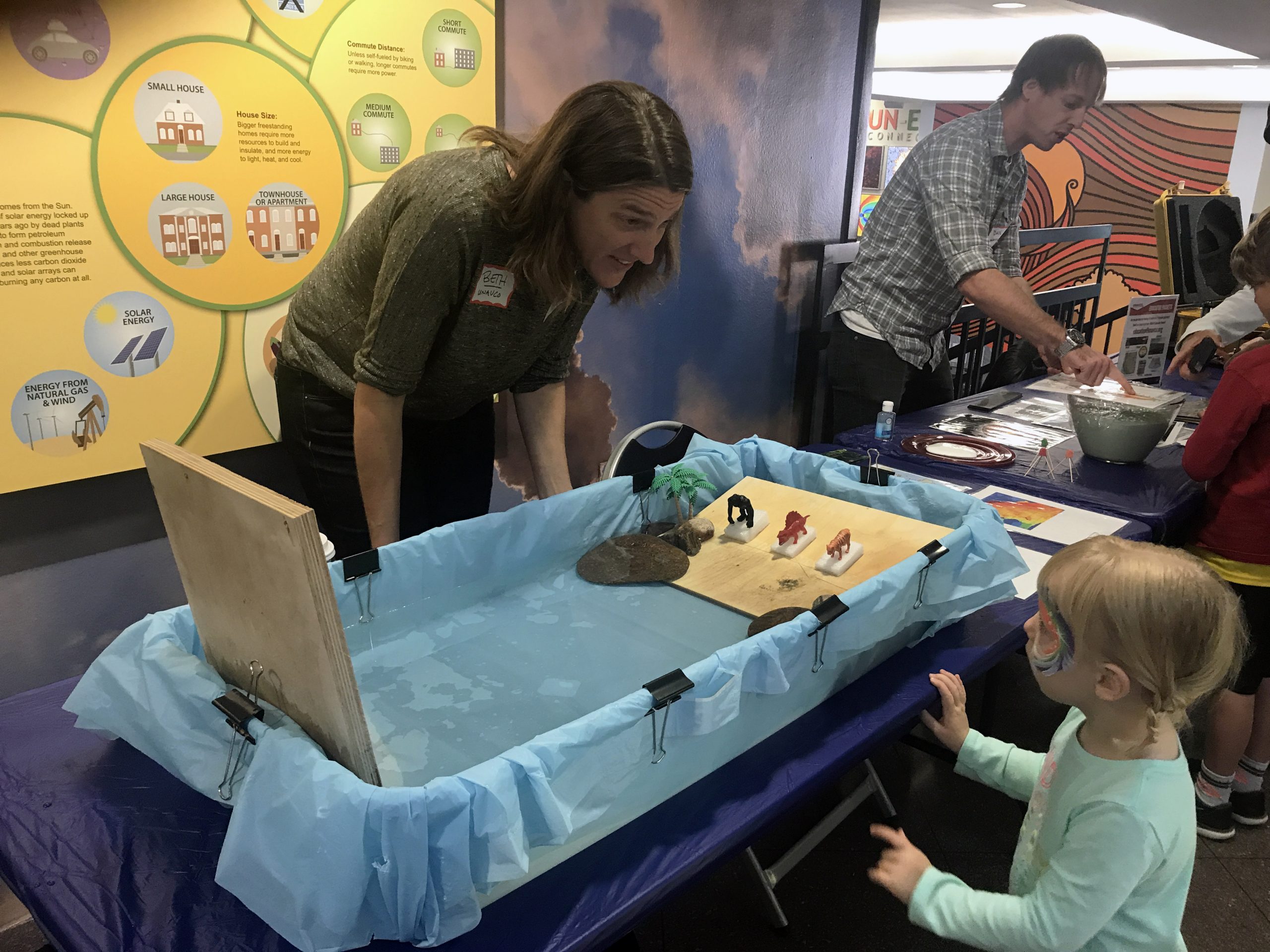
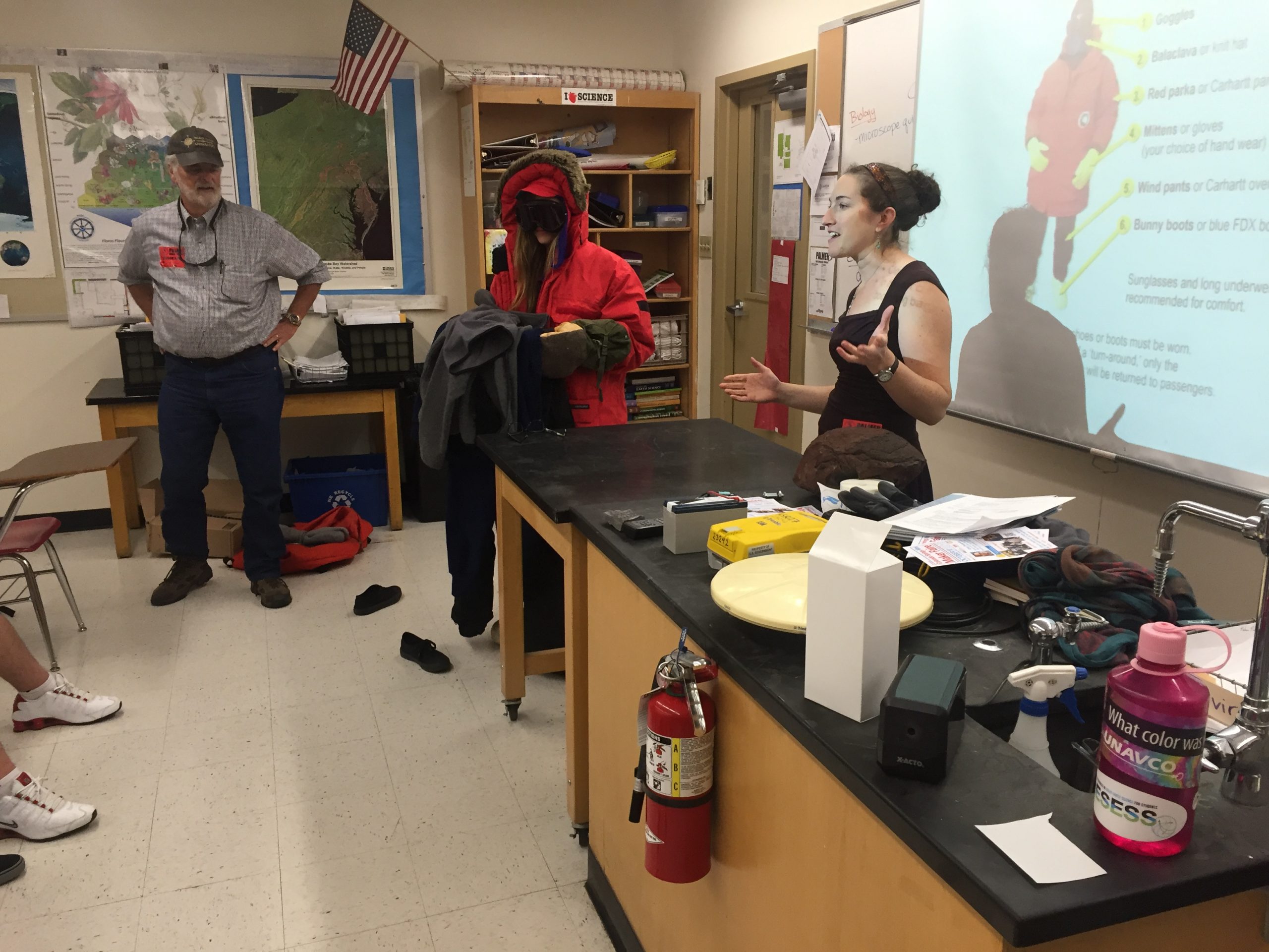
    Participants in the pinpointing location with GPS demo.

    CREDITS
    Demonstration developed by Shelley Olds.

    Video produced by Daniel Zietlow.


Last modified: 2019-12-24  01:26:00  America/Denver