

This summer we’re introducing interns in the RESESS, Geo-Launchpad, and USIP programs to shine a spotlight on the research projects they are completing throughout these 11-week internships and on their interests in geoscience.
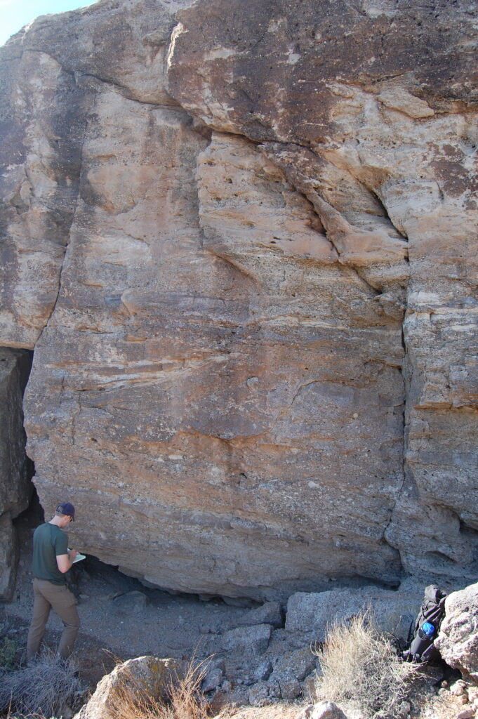
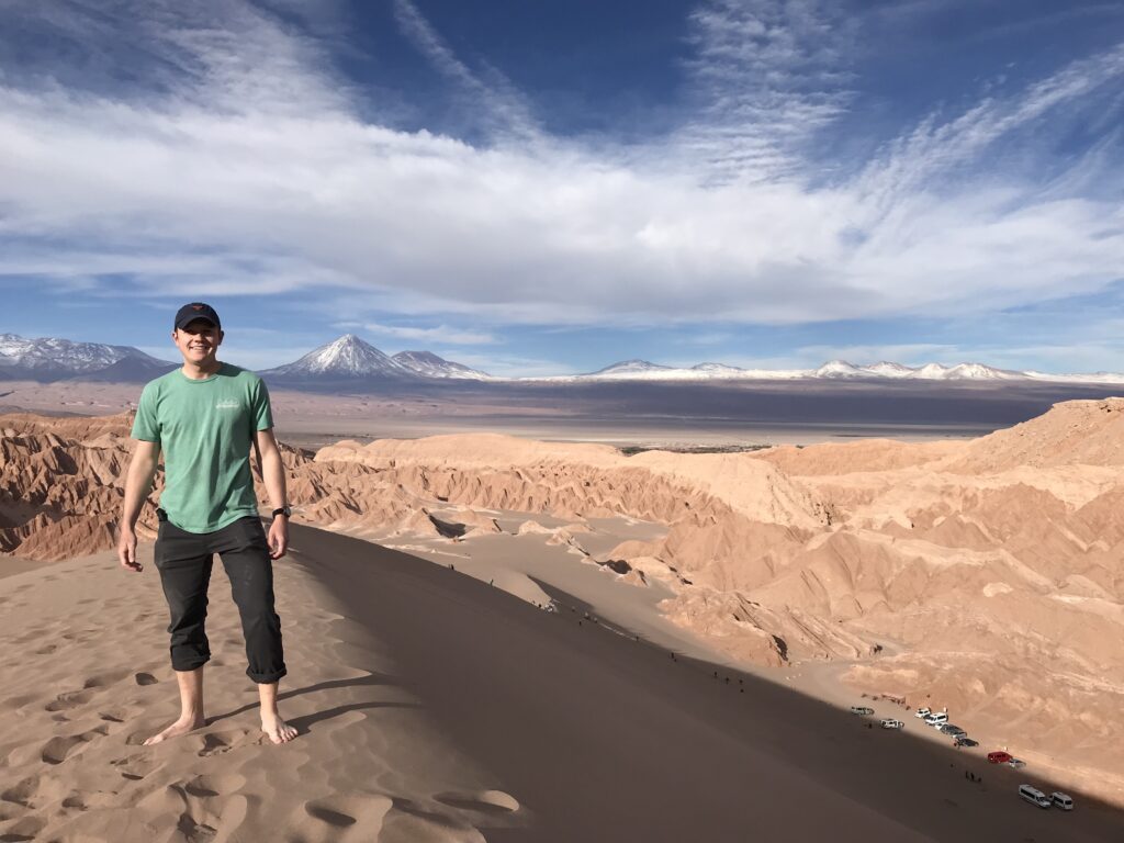
Cole Speed will be entering the final year of his PhD program at the University of Texas at Austin. Cole researches planetary surface processes, specifically how river evolution is preserved in the ancient rock record on both Earth and other planetary bodies. He is investigating the evolution of rivers with remote sensing datasets to study modern river dynamics and outcrop analyses to determine how river evolution is reflected by the stratigraphic record. As an undergraduate student, Cole studied geophysics and used seismic data to image the subsurface. Through this research, he worked to understand linkages between ancient river deposits buried within the Gulf of Mexico continental shelf and the modern-day geomorphologic and topographic expression of the Brazos River on the nearby Texas Coastal Plain. This sparked Cole’s interest in river systems and light detection and ranging (LiDAR) data, which he followed throughout his PhD. Cole was excited to gain additional experience with LiDAR data through his internship with UNAVCO and the OpenTopography team.

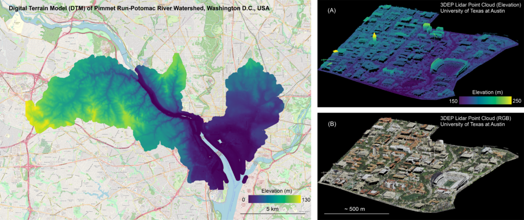
Under the mentorship of Matt Beckley and Chris Crosby of the OpenTopography team at UNAVCO, Cole is developing workflows to obtain and process high-resolution LiDAR data products that are hosted in the cloud. These workflows are being developed as part of an initiative funded by USGS Community for Data Integration (CDI) to enhance the usability and accessibility of LiDAR data generated through an ongoing topographic acquisition program managed by the USGS called the 3D Elevation Program (3DEP), which contains topographic data from all 50 states and beyond. Although the multi-trillion point 3DEP LiDAR dataset is hosted in an Amazon Web Services (AWS) public S3 bucket accessible via several user interfaces, including one developed and maintained by OpenTopography, tools for programmatically accessing, processing, and utilizing data are less well developed. Jupyter Notebook is an open-source application that allows users to share living documents with code, text, and visualizations. Cole is developing Jupyter Notebooks with Python to provide workflows of code that users can run to obtain, process, and visualize 3DEP topographic data products using cloud resources without being experts in LiDAR data or Python programming. These notebooks will be distributed for use by the scientific community and as educational tools for Python-based access to cloud-hosted resources. While Cole codes quite a bit for his own research, he has learned a lot about data processing and management, and has been able to experiment with open-source tools that he never used before.
Q&A:
- What has been your favorite part of the USIP program so far?
I think it’s been exciting to get a bit more applied experience with this type of data. I’ve used LiDAR data to answer research questions, to study how topographic landscapes change, but I haven’t really dug into a lot of the more technical aspects of the processing and analysis of data that’s this size, because it’s pretty large. This has also been a really good opportunity to learn and understand how to use cloud-hosted resources. A lot of data of this type is hosted by Amazon Web Services and other cloud platforms. I didn’t have a lot of experience with that in the past, actually accessing that data, and using and manipulating it…What I really enjoyed is doing something that I haven’t done a lot of in the past, which is working more with cloud resources and APIs.
- What have you gained from your mentorship with Matt Beckley and Chris Crosby?
I’ve learned a lot about both UNAVCO and OpenTopography. I knew kind of broadly what OpenTopography did, but I think as part of this experience, I’ve dug a lot deeper into how OpenTopography is actually organized and networked a lot with a team, which has been really great. Even though the team is kind of spread out all over the western US, I enjoyed the opportunity to work remotely with them, and it’s been really good to get to know them a little bit better. Also [getting to know] the backend of OpenTopography, which is a web-based data portal for LiDAR and other topographic datasets. It was always a bit of a mystery to me, how it worked. So I feel like just understanding a bit more about the infrastructure that is in place has probably been one of my favorite takeaways from the summer.
- Have you learned about any new topics/research techniques that have really piqued your interest?
There were several aspects of software development, particularly on the backend, that I didn’t quite grasp fully when I started this summer. I think that this internship has helped me to understand how those things actually work and how to be a better software developer as a result. I would say without a doubt, that’s been the main growth point for me this summer.
Cole has one more year of his PhD program left, and is still deciding if he would like to pursue an academic path or a career in industry. His internship this summer has allowed him to pivot into more of a digital approach to science research. Besides his internship, Cole has been working on a paper throughout this summer that he is excited to complete soon!
Written by:
- Lucia Bellino, USIP Intern
- Posted: 29 August 2022
- Last updated: 5 August 2022
- Tags: coding, internships, LiDAR, OpenTopography, USIP


