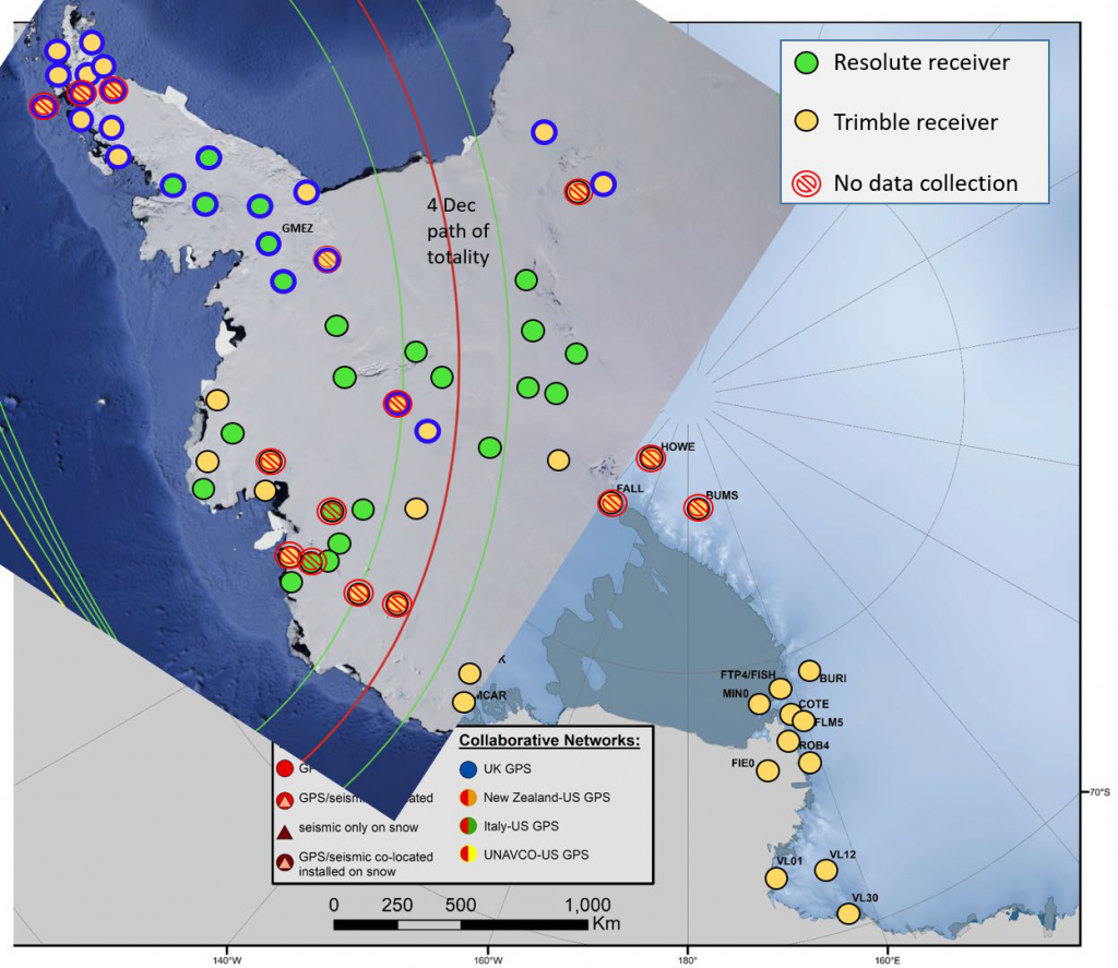
Antarctica got a rare treat on December 4—a total solar eclipse. The last time that happened was 2003, and we’ll be waiting until 2039 for the next one. This wasn’t just an opportunity for lucky viewers, though. An eclipse near the pole is also an exciting opportunity for science. UNAVCO was able to assist by making higher-rate data available from Antarctic GPS/GNSS stations.
One big reason this is scientifically valuable is the chance to observe how the ionosphere responds. Just as space weather like a solar flare can perturb the ionosphere and interfere with communication signals, the localized passage of the shadow of an eclipse also causes a change in the ionosphere.
For example, some scientists are looking to study how this affects the flow of electrical energy between the Northern and Southern Hemispheres of the ionosphere. Others are interested in how the ionospheric disturbance propagates from its starting location. They’ll also be looking for any ionospheric scintillation—radio wave impacts that interfere with a GNSS device’s ability to calculate its position.
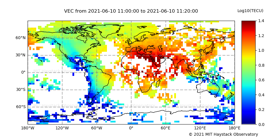
MIT Haystack Observatory’s Anthea Coster and Shun-Rong Zhang focused on ensuring the event was captured in the GNSS Total Electron Content dataset available at the NSF-supported CEDAR Madrigal database. Because geodetic GNSS instruments must correct for the variable signal delay caused by ionospheric activity, they can also be used to measure that activity. Using data from GNSS instruments around the world, global ionospheric Total Electron Content maps are generated, as well as line-of-sight data for every satellite seen by each instrument.

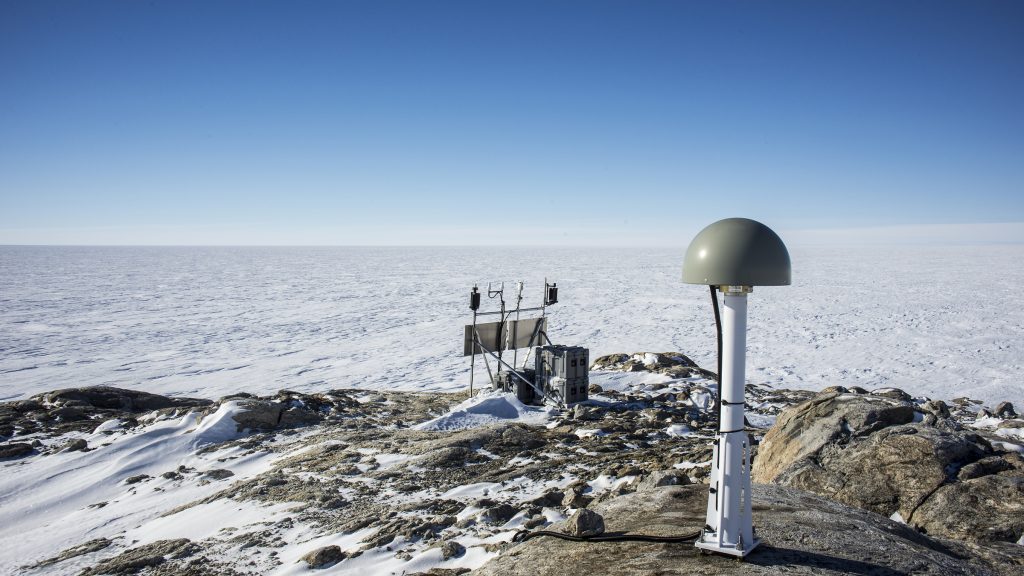
UNAVCO supports the ANET and UKANET networks of permanent GNSS stations in the Antarctic, primarily measuring vertical bedrock movement associated with the relieving of mass burden as glacial ice melts—termed “glacial isostatic adjustment”. GNSS instruments riding on the surface of glaciers are also used to track movement of the ice.
Most of the Antarctic stations are generating position data every 30 seconds—about as much data as their connections are able to send home. Higher resolution data could paint a better picture of the eclipse event, however, so ANET and UK-ANET PIs Terry Wilson and Pippa Whitehouse coordinated with UNAVCO XEOS Technologies staff to remotely set up about 50 stations to collect data every 10 seconds for several days. This involved sending single-line commands to the receivers to create new logging sessions and then carefully monitoring the data flow to ensure the stations were logging as expected. To capture the full effect of the eclipse, higher-rate data were collected from December 1st through the 8th.
With the data in hand now, researchers can dig in and see what we can learn from this extraordinary astronomical display.

UK-ANET is supported by the U.K. Natural Environmental Research Council and the British Antarctic Survey; US-ANET is supported by NSF Office of Polar Programs (Award 1745074) and the U.S. Antarctic Program.
Written by:
- Scott K. Johnson and Marianne Okal
- Posted: 15 December 2021
- Last updated: 27 January 2022
- Tags: Antarctica, GPS/GNSS, ionosphere


