
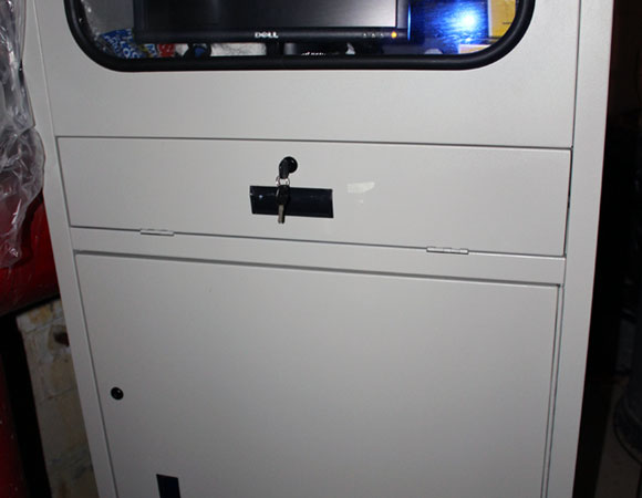
Cabinet which houses receivers and computers. 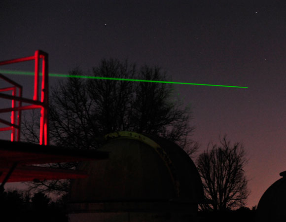
SLR system performing ranging exercises on January 10, 2012. 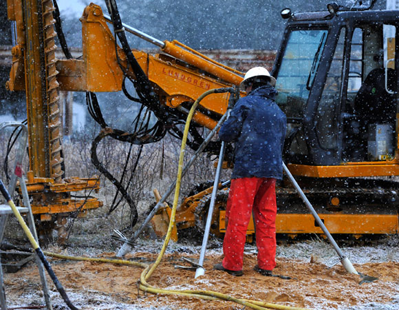
Grouting GODN monument while snowing. 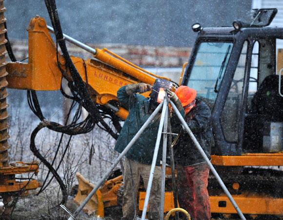
Andre Basset (UNAVCO) welding GODN legs together at top.
Project Overview
In 2011, a collaborative NASA-funded Space Geodesy Project was initiated. Jointly operated by the NASA Goddard Space Flight Center and Jet Propulsion Laboratories, the project is focused on constructing, operating, and maintaining a NASA Space Geodetic Network (NSGN) of integrated, multi-technique next generation space geodetic observing systems. This new NSGN will serve as NASA’s core contribution to a global network designed to provide infrastructure necessary for a wide array of NASA missions. Data from the space geodetic network will be used to produce highly accurate products that are essential for Earth Science Research, multidisciplinary applications, and education. Its data will also be used in the realization of the International Terrestrial Reference Frame (ITRF), as well as providing for the full realization of the measurement potential of current and future generations of Earth observing spacecraft. NASA’s goal is to demonstrate that it is ready to begin building and deploying systems on a global level
Significance
Why is the Reference Frame important?
Due to the redistribution of its mass, the shape of the Earth is constantly changing and its axis of rotation shifting. Geophysical processes on long time scales such as plate tectonics and post-glacial rebound, and short-term scales such as earthquakes and weather, induce significant and measurable changes to the shape and orientation of our planet. When motion on the Earth’s surface is observed, it must be referenced to a fixed and well defined coordinate system. The International Terrestrial Reference Frame provides a precise set of coordinates for a set of points on the Earth’s surface. It can be used to measure plate tectonics, regional subsidence or loading or used to represent the Earth when measuring its rotation in space. This rotation is measured with respect to a reference frame defined by the positions of celestial objects: a Celestial Reference Frame (CRF).
Four space geodetic techniques are used to compute accurate coordinates with respect to both the ITRF and ICRF: Very Long Baseline Interferometry (VLBI), Satellite Laser Ranging (SLR), Global Navigation Satellite System (GNSS, which includes GPS and the Russian GLONASS system), and Doppler Orbitography and Radiopositioning Integrated by Satellite (DORIS).
Logistics
The Goddard Geophysical and Astronomical Observatory (GGAO) is located near Greenbelt, Maryland, approximately 13 miles North-East of Washington DC. The site is operated by the NASA Goddard Space Flight Center (GSFC) and is used for space geodesy research and development. GGAO is an important co-location site because it has all four space geodetic techniques operating: GNSS, VLBI, SLR and DORIS. There is also an extensive survey control network of concrete pillars, equipped with stainless steel plates configured to accept standard survey tribrachs, and a number of inter-visible stable ground monuments.
UNAVCO recently completed the installation of two deep drilled-braced monuments and one short drilled-braced monument at the GGAO facility. Monument locations were chosen such that each monument would have direct line of sight to the three other space geodetic techniques operating within GGAO. The short drilled braced monument was installed for the REGINA group who operate the DORIS equipment at GGAO. The two deep drilled-braced monuments installed will be incorporated into the GNSS geodetic technique currently operating at GGAO.
To help with future surveying of these GGAO monuments, the two deep-drilled monuments were outfitted with two methods of attaching optical survey targets (corner cubes), which allow the GNSS antenna to remain untouched during optical and local site tie surveys.
The first method of attaching a corner cube to the monument involves the use of a stainless steel bracket, which easily attaches to the vertical leg of the deep drill braced monument and holds a large corner cube. The corner cube can be maneuvered in such a way that will allow it to be seen from an optical survey instrument anywhere within GGAO. The other method involves the use of stainless steel rods of fixed length that screw directly into the bottom plate of the GNSS antenna mount and which extend beyond the edge of the GNSS antenna and radome. The rods are designed such that a small corner cube can be screwed onto the end of each rod. The bottom plate of the GNSS antenna mount contains approximately 16 drilled holes for the rods to screw into, allowing a wide variation in placement. As the lengths of each component are precisely known, this will allow the horizontal distance from the center of the corner cube to the center of the GNSS antenna mount to be calculated, while the vertical offset can be determined by observation. These methods are experimental; their efficiency will not be known until they are verified by observations in the coming months.
The UNAVCO NASA Group will handle the ongoing operation maintenance and data flow from these new stations. Data will be publicly available through the UNAVCO archive in the future.
Project Information
- Principal Investigators: Dave Stowers (JPL/Caltech), Jim Long (GSFC)
- UNAVCO Engineers: Victoria Andreatta, Nic Flores, Andre Basset
- Dates: January 5-14, 2012
- Location: Goddard Geophysical and Astronomical Observatory (GGAO) near Greenbelt, Maryland
- Funding Source: NASA Earth Surface and Interior Focus Area – Science Mission Directorate
Written by:
- Victoria Andreatta and Nic Flores
- Posted: 19 July 2012
- Last updated: 19 July 2021
- Tags: GPS/GNSS, project highlights
-

