
Wrapping up the CN46 installation. (Photo by Jacob Sklar, UNAVCO). 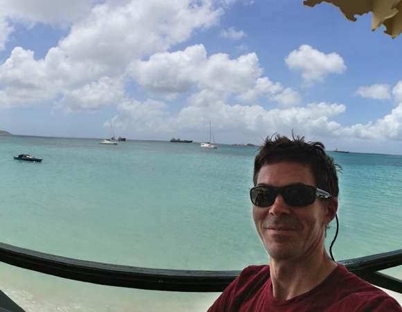
The rewards of working in the Caribbean. (Photo by Jacob Sklar, UNAVCO) 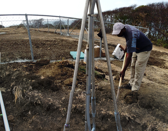
The full monument, a bit distorted. (Photo by Jacob Sklar, UNAVCO) 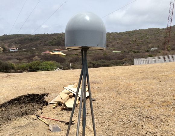
The completed monument. (Photo by Mike Fend, UNAVCO) 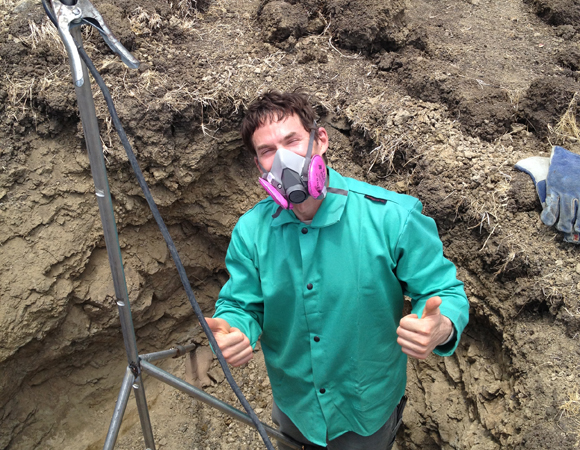
UNAVCO field engineer Jacob Sklar gives the monument the thumbs-up. (Photo by Mike Fend, UNAVCO) 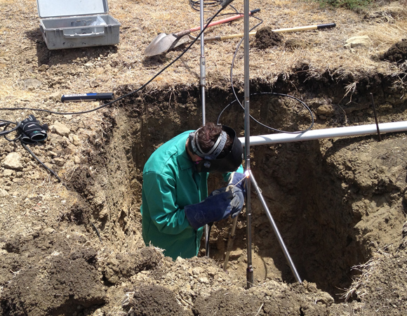
UNAVCO field engineer Jacob Sklar welds the extra-tall short-braced drilled monument (SBDM). 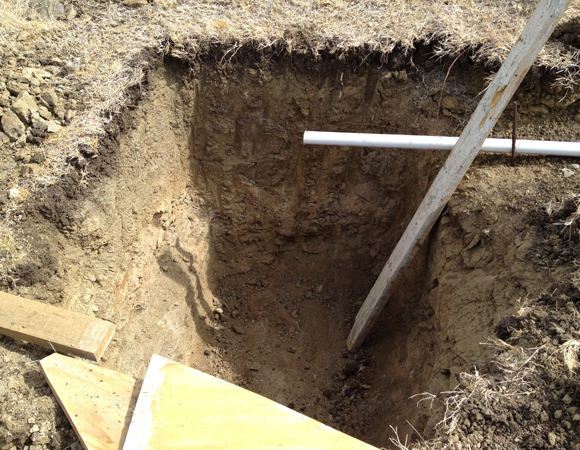
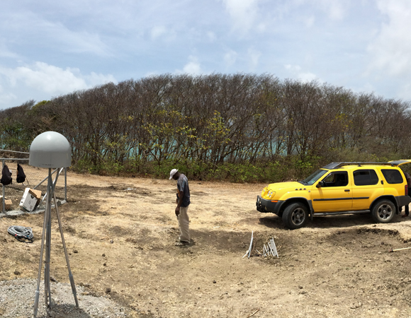
The installation team had to dig with a backhoe to five feet below the surface to find competent bedrock. (Photo by Jacob Sklar, UNAVCO). 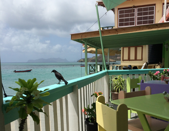
Blackbird basking in the sun at the favorite lunch spot in Carriacou. (Photo by Jacob Sklar, UNAVCO) 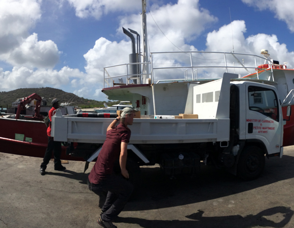
UNAVCO COCONet engineer Michael Fend loads installation equipment and supplies carried over by cargo ship from St. Georges onto the flatbed truck. (Photo by Jacob Sklar, UNAVCO) 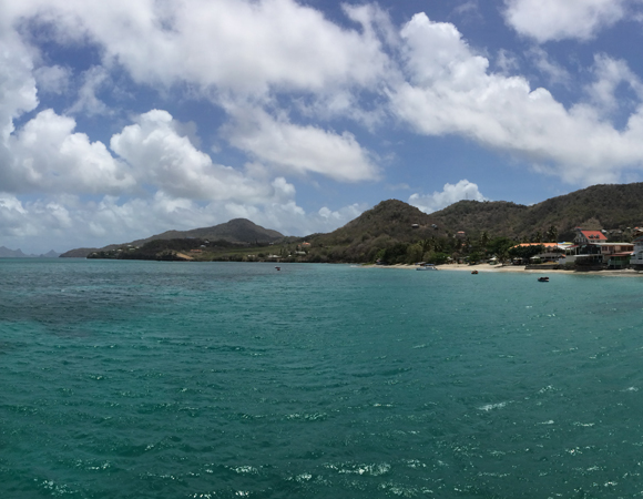
Two hours later, arriving at the docks in Carriacou. (Photo by Jacob Sklar, UNAVCO) 
On the ferry departing from St. Georges, Grenada to Carriacou to install CN46. (Photo by Jacob Sklar, UNAVCO)
Project Overview
Determining how the Caribbean plate moves with respect to the neighboring North America and South America plates has been a major challenge. Geologic plate motion models using seafloor magnetic anomaly rates, transform fault azimuths, and slip vectors are challenging due to sparse data. The only rates come from the Cayman Spreading Center, and seismicity at the eastern boundary is low due to slow convergence. Moreover, the boundary geometry is still unclear, since the Caribbean plate’s north and south boundaries are complex deformation zones.
GPS data continue to provide key clues to the Caribbean region’s geologic faults. GPS stations are currently being installed as part of the Continuously Operating Caribbean GPS Observational Network (COCONet), strengthening the indispensible collection of data belonging to a region that faces many atmospheric and geologic natural hazards.
UNAVCO Connection
While most people in the Caribbean were enjoying their time off for Easter weekend, UNAVCO engineers Jacob Sklar and Michael Fend were installing COCONet GPS site CN46 on Carriacou Island, Grenada. Carriacou Island, not to be confused with Curacao, is a two-hour ferry ride north of Grenada. UNAVCO worked closely with Terence Walters of Grenada’s National Disaster Management Agency (NaDMA) and Stephen George from the University of the West Indies Seismic Research Centre (UWI). CN46 is co-located with UWI’s seismic vault; GPS, meteorological, and seismic data are all being transmitted via a satellite connection. Collaborating with UWI will allow both UNAVCO and UWI personnel to monitor the health of the site.
Significance
The COCONet project was funded by the National Science Foundation (NSF) with the aim of developing a large-scale geodetic and atmospheric infrastructure in the Caribbean that will form the backbone for a broad range of geoscience and atmospheric investigations and enable research on process-oriented science questions with direct relevance to geohazards. The Caribbean Plate is a unique opportunity to monitor movement, because most of the plate rests underwater. Prior to this endeavor there has been limited monitoring of the Caribbean Plate. Furthermore, each site is equipped with a weather station which records vital atmospheric data that is analyzed by our friends at the University Corporation for Atmospheric Research (UCAR) to monitor the movement of potentially deadly hurricanes.
Project Information
- Principal Investigators:
COCONet - UNAVCO Engineers: Mike Fend, Jacob Sklar
- Dates: April 16 – 24, 2014
- Locations: COCONet Site CN46: Carriacou, Grenada
- Funding Source: NSF, COCONet
- Map of Carriacou, Grenada
Related Links
Written by:
- Mike Fend
- Posted: 28 April 2014
- Last updated: 29 June 2021
- Tags: COCONet, GPS/GNSS, project highlights
-

