
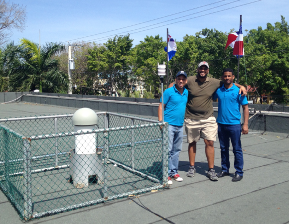
UNAVCO COCONet engineer John Sandru, left, with Juan Salado and Edgar Ulerio of ONAMET at site SROD. Photo provided by John Sandru 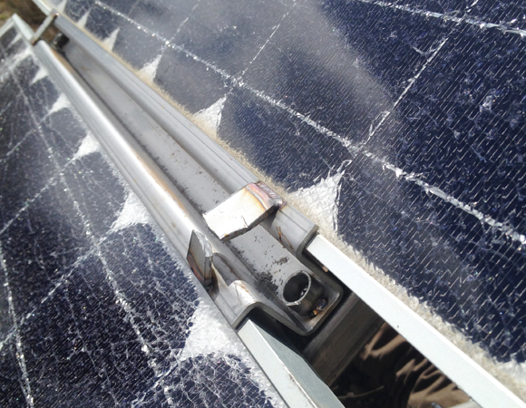
Damage to the solar panels at site CN06. Photo by John Sandru 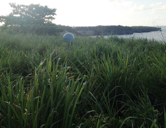
Grasses compete with the monumument at site CN27. Photo by John Sandru 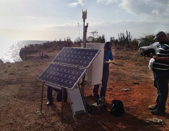
Working on the solar panels at site CN08. Photo by John Sandru 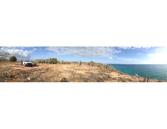
Panorama of site CN08. Photo by John Sandru 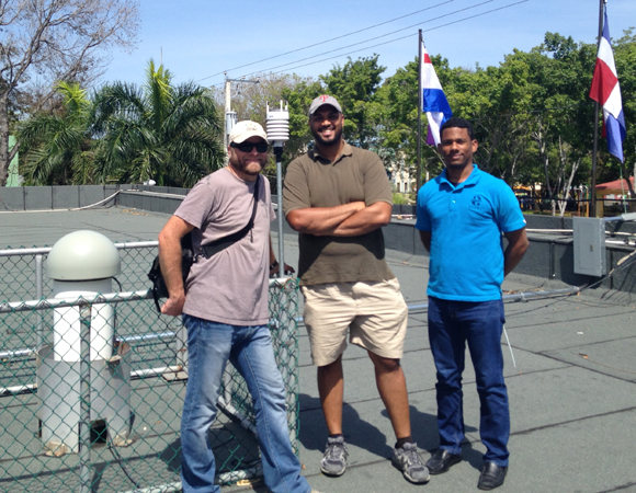
Jenuel Almonte, Juan Salado, and Edgar Ulerio of ONAMET at site SROD. Photo by John Sandru
Project Overview
Determining how the Caribbean plate moves with respect to the neighboring North America and South America plates has been a major challenge. Geologic plate motion models using seafloor magnetic anomaly rates, transform fault azimuths, and slip vectors are challenging due to sparse data. The only rates come from the Cayman Spreading Center, and seismicity at the eastern boundary is low due to slow convergence. Moreover, the boundary geometry is still unclear, since the Caribbean plate’s north and south boundaries are complex deformation zones.
GPS data continue to provide key clues to the Caribbean region’s geologic faults. GPS stations are currently being installed as part of the Continuously Operating Caribbean GPS Observational Network (COCONet), strengthening the indispensible collection of data belonging to a region that faces many atmospheric and geologic natural hazards.
Work Summary
During the last part of April, UNAVCO and the Oficina Nacional de Meteorología (ONAMET) upgraded communications on COCONet sites CN06, CN08, and CN27 and Jurisdicción Inmobiliaria (JI) sites BARA, LVEG, and SROD in the Dominican Republic, and brought site CN06 online for the first time since it was installed in August 2012.
We also replaced three met packs, bringing all the Dominican sites online for real-time metrological data for the use of ONAMET and others who want the data.
The Dominican Republic has been a challenging country to get reliable data out of since the first stations were installed. Many different plans have been put to the test to get the country’s entire GPS network operating. Fortunately, the introduction of the Sierra Wireless LS300 cellular router has solved the majority of the problems we have encountered.
Site Notes
CN08 – 24 April
Installed a new LS300 VPN cellular router to make the data collection at CN08 the most robust it has been since installation.
BARA – 25 April
Installed a new met pack on the Jurisdicción Inmobiliaria (JI) building. The previous one was removed due to a failure.
CN06 – 28 April
Installed a new LS300 VPN cellular router, bringing CN06 online for the first time since August 2012 when it was installed. There was some vandalism at the site and UNAVCO’s theft resistant solar panel mounts prevented the solar panels from being stolen.
LVEG – 29 April
Reinstalled a met pack damaged by lightning.
SROD – 30 April
Installed a met pack, as it was not available during site installation.
CN27 – 30 April
Installed a new LS300 VPN cellular router to make the data collection at CN27 the most robust it has been since installation. We also replaced a badly corroded met pack to make the station completely operationable.
Significance
The COCONet project was funded by the National Science Foundation (NSF) with the aim of developing a large-scale geodetic and atmospheric infrastructure in the Caribbean that will form the backbone for a broad range of geoscience and atmospheric investigations and enable research on process-oriented science questions with direct relevance to geohazards. The Caribbean Plate is a unique opportunity to monitor movement, because most of the plate rests underwater. Prior to this endeavor there has been limited monitoring of the Caribbean Plate. Furthermore, each site is equipped with a weather station which records vital atmospheric data that is analyzed by our friends at the University Corporation for Atmospheric Research (UCAR) to monitor the movement of potentially deadly hurricanes.
Project Information
- Principal Investigators:
COCONet - UNAVCO Engineer(s): John Sandru
- Dates: April 21 – May 1, 2014
- Collaborators: Juan Salado and Jenuel Almonte, ONAMET; Carlos Rodriguez, Global Matrix Engineering
- Location(s): Various sites, Dominican Republic
- Funding Source: NSF, COCONet
- Map of Dominican Republic
Related Links
Written by:
- John Sandru
- Posted: 2 July 2014
- Last updated: 28 June 2021
- Tags: GPS/GNSS, project highlights
-

