
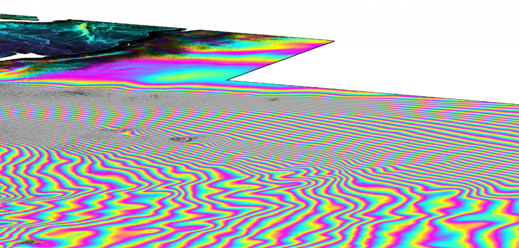
Example of InSAR image that Phillip utilizes to construct the deformation map of Greenland. 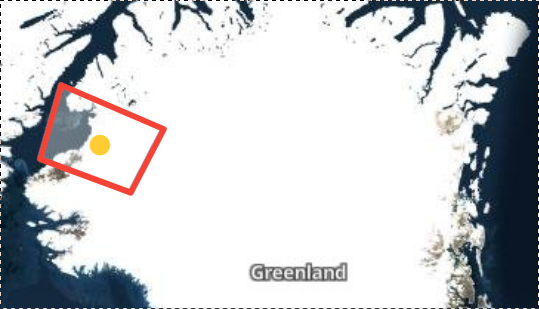
Map of Greenland that Phillip utilizes for his deformation map of the country. 
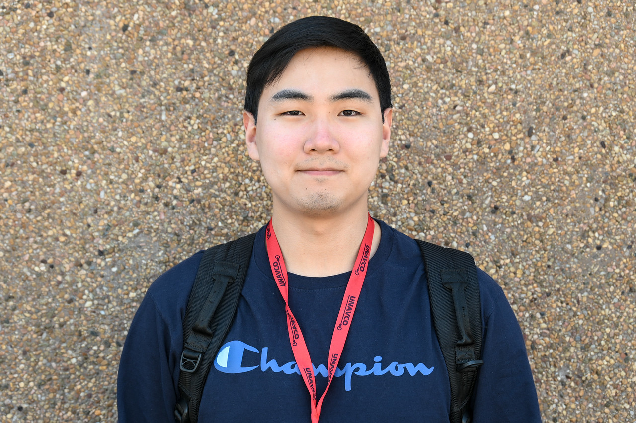
Phillip Choi (RESESS)

This summer we’re introducing interns in the RESESS and Geo-Launchpad programs to shine a spotlight on the research projects they are completing throughout these 11-week internships and on their interests in geoscience.
Phillip Choi is a rising senior at the University of Pennsylvania in Philadelphia. Although he initially entered college interested in studying cultural anthropology, Phillip soon realized that he preferred physics. After having completed compulsory military service in Korea, Phillip recognized how much he enjoyed outdoor fieldwork. Once he got to know some of the faculty and students in the Earth Science department at his university and learned more about geology, Phillip decided that his true passion was geophysics, which incorporated both his interest in nature and his knack for physics. At the University of Pennsylvania, Phillip joined the Sediment Dynamics lab to research experimental geomorphology. In this lab, he ran stream table experiments with sediments of varying cohesiveness to investigate how different rivers formed over time, which culminated in a presentation at the American Geophysical Union’s fall conference. Although Phillip enjoyed his hands-on, experimental research, he wanted to learn how to utilize his geophysics knowledge combined with remote sensing techniques. In addition to the opportunity to meet and network with faculty from the University of Colorado Boulder and the Colorado School of Mines, UNAVCO’s focus on geodesy and remote sensing led Phillip to apply for the RESESS internship program.
This summer, Phillip is working with Dr. Kristy Tiampo and Dr. Michael Willis, who are both associated with the Cooperative Institute for Research in Environmental Sciences (CIRES), which is a partnership of the NOAA and University of Colorado Boulder. Alongside his mentors, Phillip is utilizing Interferometric Synthetic Aperture Radar (InSAR) to create a surface deformation map of Greenland. InSAR is a remote sensing technique that utilizes radar images of Earth’s surface that are taken by satellites orbiting the planet. Two images that were taken in similar locations at different times can be used to analyze changes in Earth’s surface. Since radar is not affected by cloud cover, InSAR can be employed to track surface deformation during poor weather conditions, like storms or volcanic eruptions. Recently, the Geological Survey of Norway released a surface deformation map of Norway for the first time. This publication spurred Phillip’s project, along with the recent release of a high-resolution digital elevation model of the Arctic. This is the first time that a surface deformation map for Greenland will be created. Phillip’s research will provide information about landslides and other natural disasters in Greenland, a topic that ties in well with Phillip’s future career goals.
Q&A
- What has been your favorite part of the RESESS program so far?
My mentors have been really supportive. The effort that the program puts in to accommodate and support students, like having the few weeks in person, was astounding—even if only for half of the program. It just shows that UNAVCO is taking that extra step. The staff and mentors also give you many resources and communicate with you frequently to make sure that you’re developing from the program.
- What have you gained from your mentorship with Dr. Tiampo and Dr. Willis?
I’m learning how to use InSAR and computational skills, especially working with remote desktops and high performance computing. Dr. Tiampo and Dr. Willis are mostly teaching me technical skills and offering guidance on how to use them.
- Have you learned about any new topics or research techniques that have really piqued your interest?
This is my first deep dive into remote sensing in general. In the past, my explorations of surface processes were lab methods and occasionally field work. Looking at remote sensing data gives you a better spatial and temporal scale, especially with InSAR. Higher level ideas and goals that I’ve been interested in are how to compare and overlap snapshots of the same area over time, as well as how to clean up and make those images more interpretable.
After completing the RESESS program, Phillip plans to head back to Philadelphia to finish his Bachelor’s degree at the University of Pennsylvania. After that, he hopes to attend graduate school for geophysics. He’s not yet sure if he is ready to fully commit to a PhD track, but Phillip plans to explore geomorphology and civil/geological engineering more with an eye towards a career related to natural hazards mitigation.
Written by:
- Lucia Bellino
- Posted: 28 June 2021
- Last updated: 2 July 2021
- Tags: internships, SAR
-

