
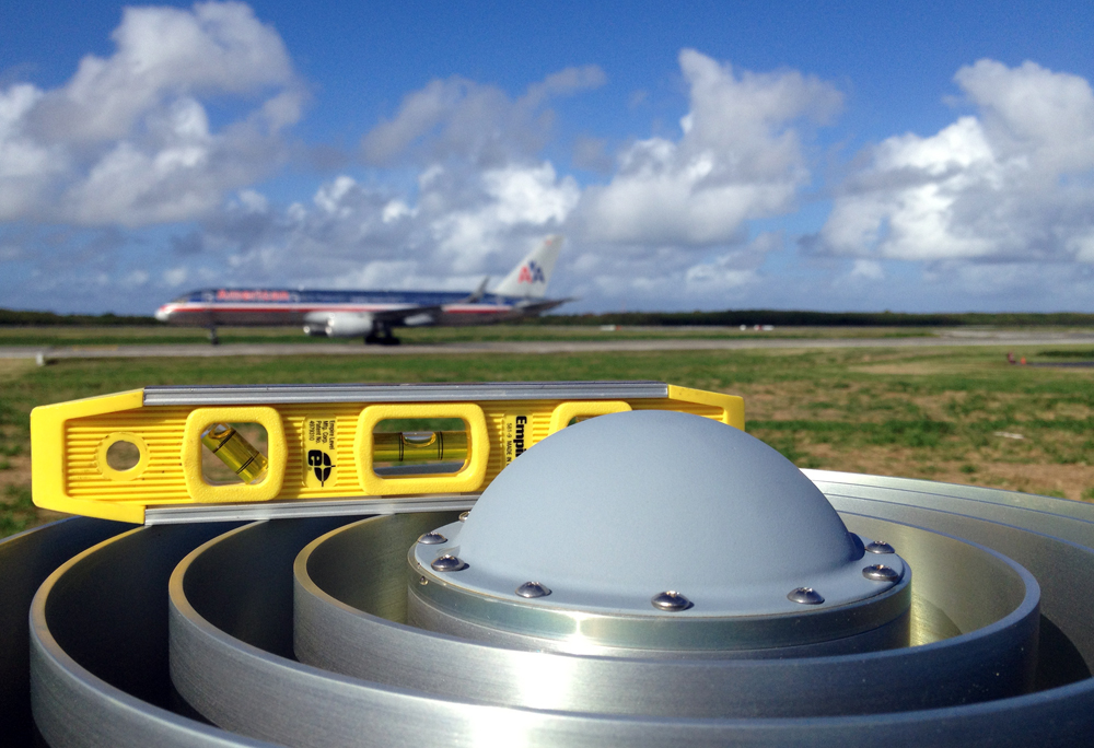
Checking to see that the GPS antenna is level at site CN05, Dominican Republic. (Photo/Michael Fend) 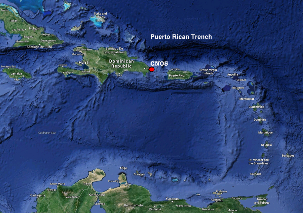
Site CN05 will help geodesists study the Puerto Rican Trench, the deepest part of the Atlantic and the Caribbean. Image modified from Google Maps. 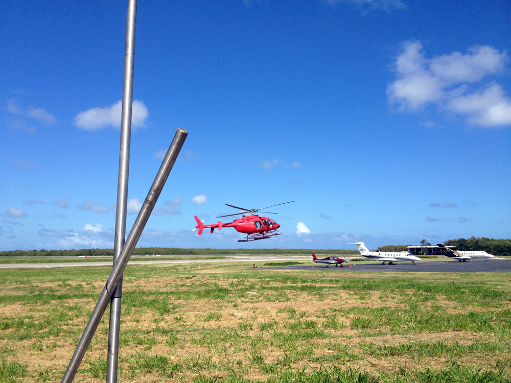
A helicopter comes in for a landing while engineers work on building the GPS antenna monument at site CN05. (Photo/Michael Fend) 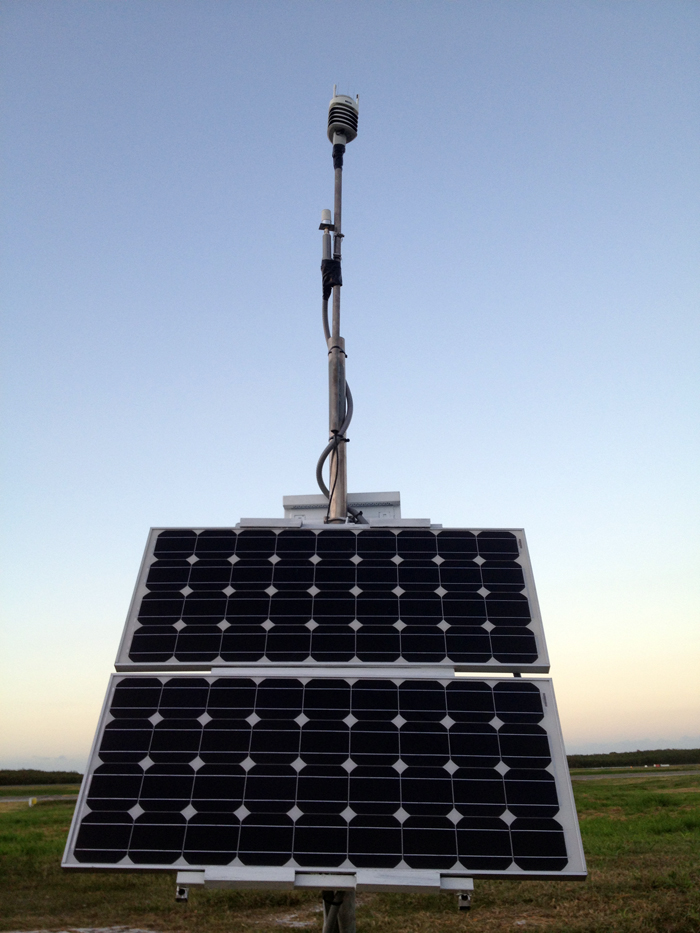
Meteorological monitoring, communications, and the power system at COCONet site CN05. (Photo/Michael Fend) 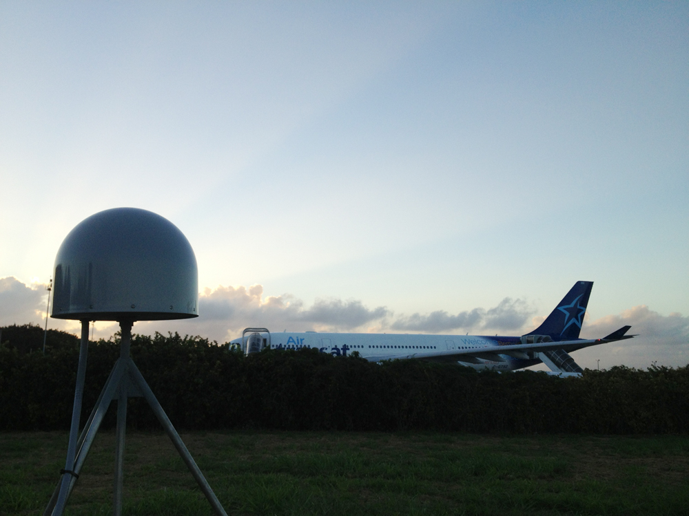
COCONet site CN05 at the Punta Cana International Airport, Dominican Republic. (Photo/Michael Fend) 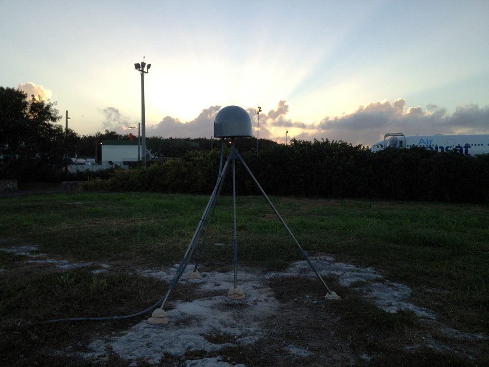
The sun sets on COCONet site CN05 at the Punta Cana International Airport, Dominican Republic. (Photo/Michael Fend) 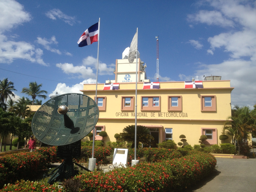
UNAVCO engineer Mike Fend met with ONAMET director Gloria Ceballos to finalize logistics for the installation of continuous GPS site CN05 at Punta Cana. (Photo/Mike Fend) 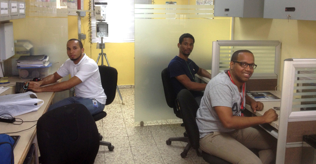
ONAMET personnel in their site monitoring room. Names from left to right : Roldan Avila, Edgar Ulerio, and Javier Acosta. (Photo/Mike Fend)
Overview
Determining how the Caribbean plate moves with respect to the neighboring North America and South America plates has been a major challenge. Geologic plate motion models using seafloor magnetic anomaly rates, transform fault azimuths, and slip vectors are challenging due to sparse data. The only rates come from the Cayman Spreading Center, and seismicity at the eastern boundary is low due to slow convergence. Moreover, the boundary geometry is still unclear, since the Caribbean plate’s north and south boundaries are complex deformation zones.
GPS data continues to provide key clues to the Caribbean region’s geologic faults. GPS stations are currently being installed as part of the Continuously Operating Caribbean GPS Observational Network (COCONet), strengthening the indispensible collection of data belonging to a region that faces many atmospheric and geologic natural hazards.
UNAVCO Connection
UNAVCO Engineers John Sandru and Michael Fend worked in collaboration with the Oficina Nacional de Meteorología (ONAMET), Alex Holsteinson at Geomedición, Instrumentos y Sistemas, Fausto Baez at Holasa, and the Punta Cana Group of the Punta Cana International Airport to install the latest COCONet GPS site, CN05, in Punta Cana, Dominican Republic. The site is located within the Punta Cana International Airport, on the eastern tip of the Dominican Republic. The data collected from CN05 is particularly vital because it provides insight into movement within the Puerto Rican Trench, the deepest part of the Atlantic Ocean and the Caribbean Sea.
Significance
The COCONet project was funded by the National Science Foundation (NSF) with the aim of developing a large-scale geodetic and atmospheric infrastructure in the Caribbean that will form the backbone for a broad range of geoscience and atmospheric investigations and enable research on process-oriented science questions with direct relevance to geohazards. The Caribbean Plate is a unique opportunity to monitor movement, because most of the plate rests underwater. Prior to this endeavor there has been limited monitoring of the Caribbean Plate. Furthermore, each site is equipped with a weather station which records vital atmospheric data that is analyzed by our friends at the University Corporation for Atmospheric Research (UCAR) to monitor the movement of potentially deadly hurricanes.
Project Information
- Principal Investigators: COCONet
- UNAVCO Engineers: John Sandru, Mike Fend
- Date: February 3 – 8, 2014
- Locations: COCONet Site CN05: Dominican Republic (map)
- Funding Source: NSF, COCONet
Related Links
Written by:
- Mike Fend
- Posted: 10 February 2014
- Last updated: 25 June 2021
- Tags: GPS/GNSS, project highlights
-

