RAPID Response to the November 30, 2018 M 7.1 Earthquake 13 km N of Anchorage, Alaska
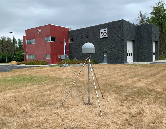
Alaska RAPID station FH63. (Photo/Jim Normandeau, UNAVCO) 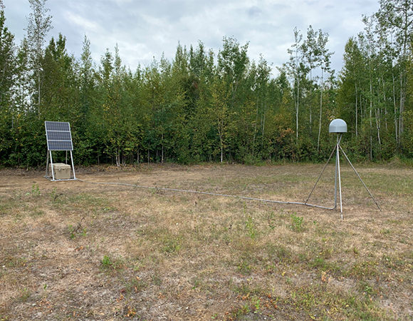
Station FH83. (Photo/Jim Normandeau, UNAVCO) 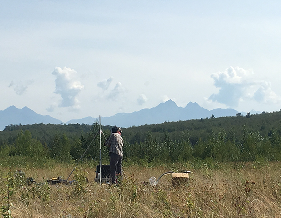
UNAVCO engineer Keith William welds the stainless steel rods for an Alaksa RAPID GNSS antenna monument. (Photo/Jim Normandeau, UNAVCO) 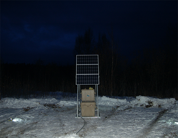
Station at Port McKenzie, the 5th station installed for this project. (Photo/Jim Normandeau, UNAVCO) 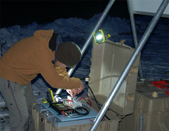
UNAVCO engineer Keith Williams wires up the 5th station, which was installed in mid-November 2019. (Photo/Jim Normandeau, UNAVCO)
Project Overview
On November 30, 2018 a magnitude 7.1 earthquake struck just north of Anchorage, Alaska and caused over $75 million in damage to private and public facilities. The earthquake took place in the upper part of a subducting slab where the slab may be bending downwards, and early indications suggest that the event may have been related to stresses caused by this plate bending.
In the weeks and months following a large earthquake, slip and deformation can continue to take place along a fault and in the surrounding regions. To better understand the post-earthquake deformation, this study places five continuous GNSS stations around the earthquake epicenter and makes campaign GPS measurements at a number of benchmarks in the area. The new stations fill in a gap in the existing network of NOTA and other continuous GNSS stations. The Anchorage earthquake occurred within a region that has experienced multi-year slow slip events, raising the potential for triggered transient events. Data from this study will be used to learn more about slip behavior along the Alaska subduction zone and improve constraints on regional seismic hazards.
UNAVCO Support
UNAVCO was tasked with the installation of the 5 continuously operating GNSS stations in the project area. Installation included purchasing of all necessary materials and supplies, in addition to providing Septentrio PolaRx5 GNSS equipment from the UNAVCO receiver pool. Due to delays beyond staff control, the first 4 of the 5 stations were installed in July, 2019. In November 2019, a second trip was made to install the 5th and last station. The cGNSS stations for the Alaska RAPID array consist of a short driven braced monument, 16 100Ah batteries and three 100 watt solar panels to keep the stations running through the Alaskan winter.
Project Information
- Principal Investigator(s): Julie Elliott, Purdue University
- UNAVCO Staff: Keith William, Jim Normandeau
- Dates: March 15, 2019 (start date)
- Location: Alaska
- Funding Source: NSF EAR 1917396
- Map of Anchorage, Alaska
Related Links
Written by:
- Julie Elliot and Jim Normandeau
- Posted: 15 March 2019
- Last updated: 4 June 2021
- Tags: earthquakes, GPS/GNSS, project highlights


