
Revealing Earth Systems: Integrating Spatial and Temporal Data
Please mark your calendars! The GAGE/SAGE Science Workshop will take place in a virtual format August 17-19, 2021.
This workshop stretches across disciplinary boundaries and focuses on elements that are common to the diverse disciplines and applications within the geodesy and seismology communities. It highlights synergies between the geodesy and seismic communities in time, space, and methods for approaching datasets and changes in the Earth System.
Dates
Other dates will be added as the registration process and agenda are finalized.
- June 1 – Registration opens
- August 9-13 – Short courses
- Monday August 16 – first-time attendee welcome and early career networking events
- Tuesday August 17 – Thursday August 19 – Main Meeting
Workshop Goals
- Foster community among geodetic and seismic researchers, faculty, students, and facility staff,
- Facilitate geodetic and seismic scientific research by sharing results and planning future endeavors, and
- Provide a venue for professional development in scientific and technical careers.
Workshop Leadership
Science Planning Committee:
- Mike Brudzinski, Miami University of Ohio
- Roland Bürgmann, University of California Berkeley
- Maureen Long, Yale University
- Wendy Zhou, Colorado School of Mines
UNAVCO/IRIS Planning Contacts:
- Beth Pratt-Sitaula, UNAVCO
- John Taber, IRIS
Have questions? Please contact Beth Pratt-Sitaula (prattsitaula![]() unavco.org) and John Taber (taber
unavco.org) and John Taber (taber![]() iris.edu) for more information.
iris.edu) for more information.
Code of Conduct: Please take a moment to review our Code of Conduct.
Plenary Sessions
Behavior at and coupling across key Earth interfaces
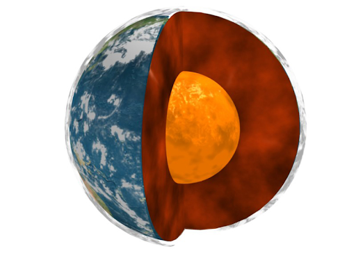
This session is aimed at understanding the structure and processes associated with interfaces and boundaries within the Earth system. Examples include the boundary between the solid Earth and its fluid envelopes, the boundary between the solid mantle and the liquid outer core, the land/ocean interface at continental margins, and Earth’s permeable near-surface boundary layer known as the critical zone. It will include contributions that highlight new data sets and observation strategies that target these interfaces, those that reveal new understanding of the processes operating at them, and studies that explore the ways that different regions of the Earth interact and how different components of the Earth system are coupled across interfaces.
Illuminating Transients in Earth Processes
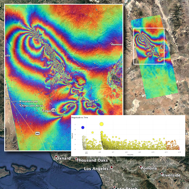
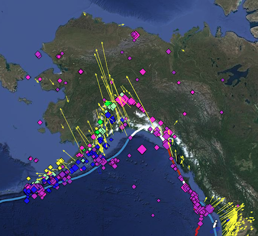
This plenary session focuses on integrative studies of transient deformation and Earth structure. Recent advances in seismic and geodetic monitoring technologies and methods have revealed time-dependent deformation processes and changing constitutive properties in a wide variety of Earth systems. Examples include slow slip on plate-boundary faults, a range of postseismic deformation processes, seasonal and multi-year aquifer changes, and landslide dynamics. These time varying signals can be captured by various geodetic methods, continuous seismic imaging using ambient noise, receiver functions or active source experiments, and repeated electrical resistivity imaging. We seek contributions that combine multiple methods to illuminate transient deformation and changing mechanical properties in the Earth.
New approaches to processing big geophysical and geospatial datasets
“Big data” is challenging our computational capabilities in terms of volume, velocity and variety (3Vs). Increases in the spatial and temporal resolution of our geophysical observations have produced dramatic increases in the amount of data for geoscientists to analyze. Each stage of the life cycle of geospatial big data can present issues for our community: (1) data acquisition, (2) compilation and management, and (3) data analysis, visualization and distribution. This session seeks to showcase strategies that are overcoming these obstacles and providing new insights into Earth behavior. For instance, machine learning presents a host of new opportunities for our community, with increasing emphasis on technical rigor, common benchmarks, and repeatability. In addition, enhanced understanding can also be achieved via data amalgamation, high-performance computing, data mining, and dataset-integration strategies. Vast datasets also create opportunities for improved statistical characterization and improved quantification of uncertainties. We are particularly interested in highlighting techniques likely to be scalable and transferable to other problems.
Agenda
Short Courses
Short courses will be held the week before the main workshop – August 9-13. Exact schedule will be released in spring 2021. Courses will each be one or two half-day sessions. Short courses will include:
- GAMIT/GLOBK In 8 Hours
- Introduction to MsPASS: A new data management and processing framework for seismology
- Distributed Acoustic Sensing: Scientific Frontiers and Community Needs
- Introduction to Earthworm and AQMS
- Retrieving Signals from a Noisy World: How Seismometers Work
- Working with Strainmeter Data
- InSAR Data Interpretation and Analysis for Nonspecialists
- Improving Workplace Climate: Boost Your Satisfaction and Success in Graduate School (STUDENTS-ONLY)
- Improving Workplace Climate: Increasing Inclusionary Behaviors in Your Department (NON-STUDENTS)
Day 0 – Monday August 16
- First time attendee welcome and orientation
- Early career networking
Day 1 – Tuesday August 17
Daily schedule will be 11 am-7 pm ET with three 2-hours blocks and 1-hour breaks between. Sessions will include:
- Opening & Welcome
- Plenary 1 – Behavior at and coupling across key Earth interfaces
- Special Interest Group sessions
- Posters
Day 2 – Wednesday August 18
Daily schedule will be 11 am-7 pm ET with three 2-hours blocks and 1-hour breaks between. Sessions will include:
- Plenary 2 – Illuminating Transients in Earth Processes
- Professional Development Mini-courses
- Community panel and discussion
- Posters
Day 3 – Thursday August 19
Daily schedule will be 11 am-7 pm ET with three 2-hours blocks and 1-hour breaks between. Sessions will include:
- Plenary 3 – New approaches to processing big geophysical and geospatial datasets
- Special Interest Group sessions
- Posters
- Community panel/discussion and workshop closing